Photograph as originally submitted to
this page in the Historical Marker Database
www.HMdb.org.
Click on photo to resize in browser. Scroll down to see metadata.
Photographer: Courtesy:: Ginger L. Drenning
Taken: September 5, 2012
Caption:
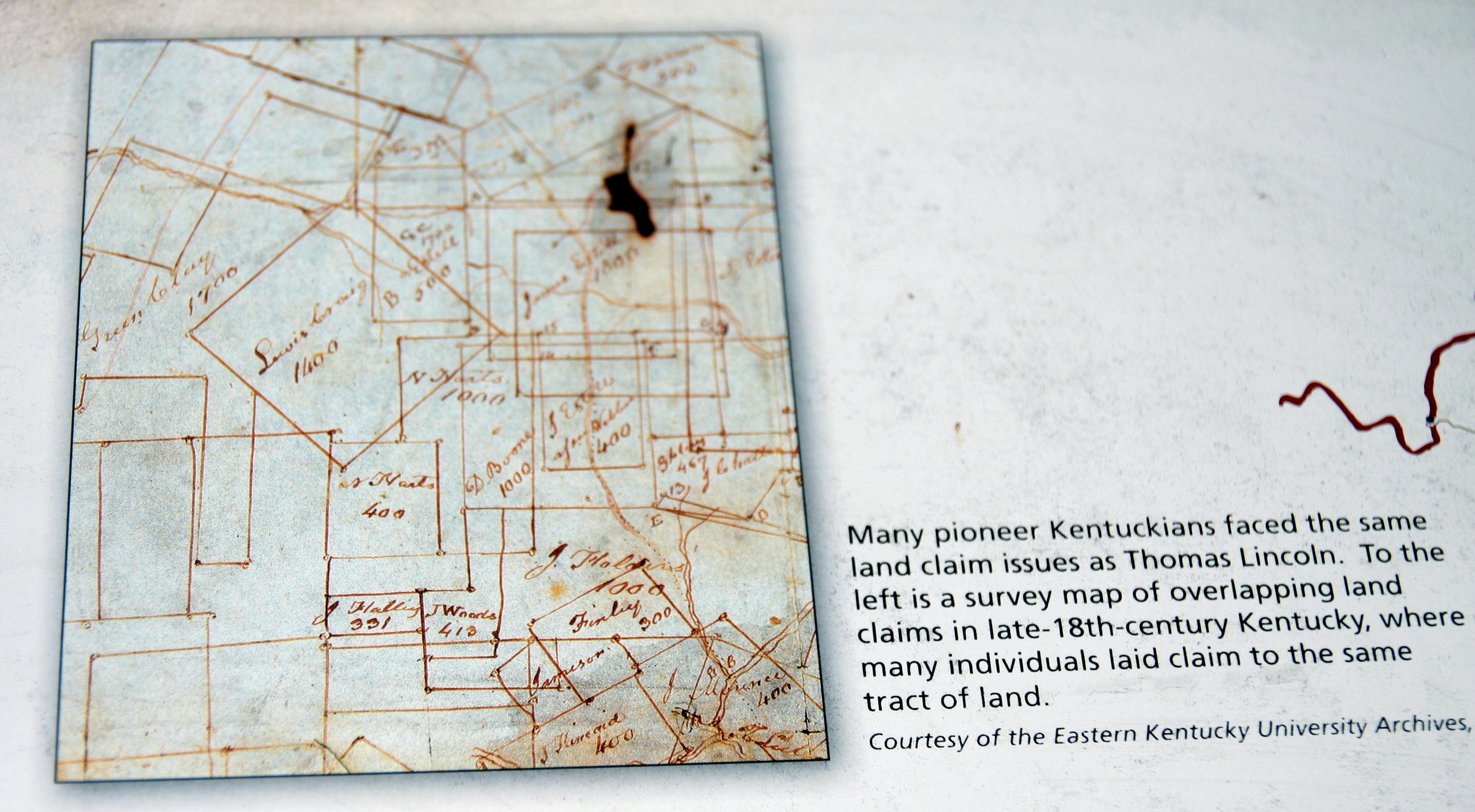
Title Disputes - - Survey Map | Additional Description: Text reads —
Many pioneer Kentuckians faced the same land claim issues as Thomas Lincoln. To the left is a survey map of overlapping land claims in late-18th-century Kentucky, where many individuals laid claim to the same tract of land.
Courtesy of the Eastern Kentucky University ArchivesSubmitted: October 9, 2012, by Al Wolf of Veedersburg, Indiana.
Database Locator Identification Number: p222942
File Size: 1.123 Megabytes
To see the metadata that may be embedded in this photo, sign in and then return to this page.