Photograph as originally submitted to
this page in the Historical Marker Database
www.HMdb.org.
Click on photo to resize in browser. Scroll down to see metadata.
Photographer: Don Morfe
Taken: January 30, 2012
Caption:
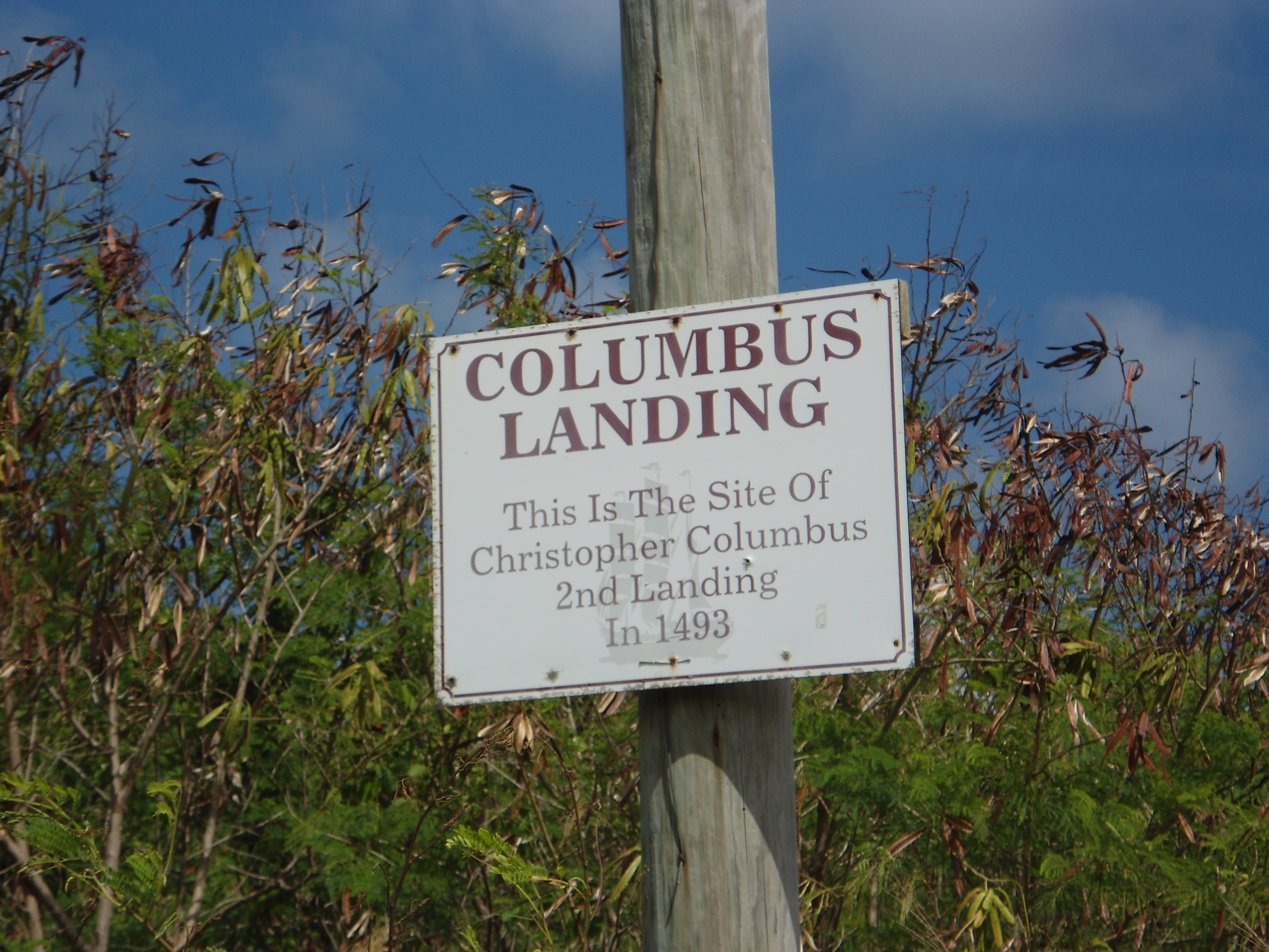
Native American Village and Ceremonial Site Marker | Additional Description: The GPS Coordinates are 17.7789N 64.7593W
Submitted: November 2, 2012, by Don Morfe of Baltimore, Maryland.
Database Locator Identification Number: p225100
File Size: 2.060 Megabytes
To see the metadata that may be embedded in this photo, sign in and then return to this page.