Photograph as originally submitted to
this page in the Historical Marker Database
www.HMdb.org.
Click on photo to resize in browser. Scroll down to see metadata.
Photographer: Kevin W.
Taken: April 28, 2008
Caption:
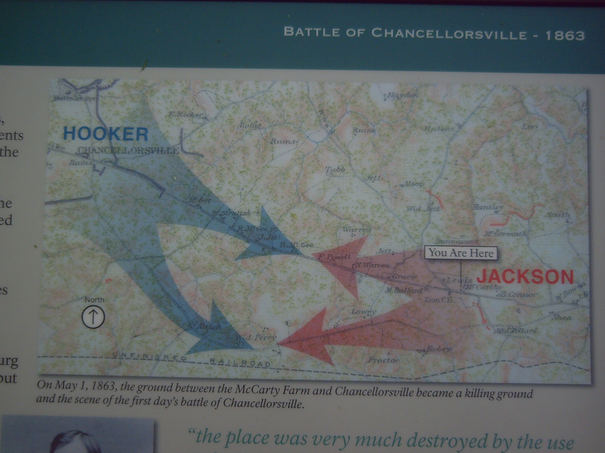
Detail of map on the McCarty Farm Marker | Additional Description: On May 1, 1863, the ground between the McCarty Farm and Chancellorsville became a killing ground and the scene of the first day’s battle of Chancellorsville.
Submitted: May 1, 2008, by Kevin W. of Stafford, Virginia.
Database Locator Identification Number: p22831
File Size: 0.795 Megabytes
To see the metadata that may be embedded in this photo, sign in and then return to this page.