Photograph as originally submitted to
this page in the Historical Marker Database
www.HMdb.org.
Click on photo to resize in browser. Scroll down to see metadata.
Photographer: Kevin W.
Taken: April 11, 2008
Caption:
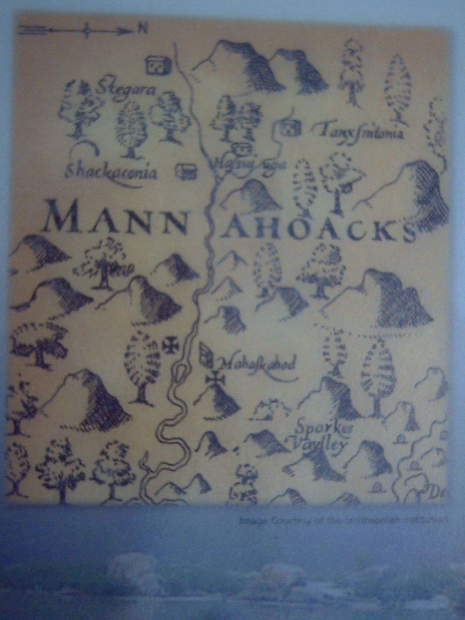
Early map of the area. | Additional Description: The two crosses indicate the farthest points reached during Smith's 1608 explorations.
Submitted: May 7, 2008, by Kevin W. of Stafford, Virginia.
Database Locator Identification Number: p23294
File Size: 0.783 Megabytes
To see the metadata that may be embedded in this photo, sign in and then return to this page.