Photograph as originally submitted to
this page in the Historical Marker Database
www.HMdb.org.
Click on photo to resize in browser. Scroll down to see metadata.
Photographer: Stanley and Terrie Howard
Taken: March 8, 2013
Caption:
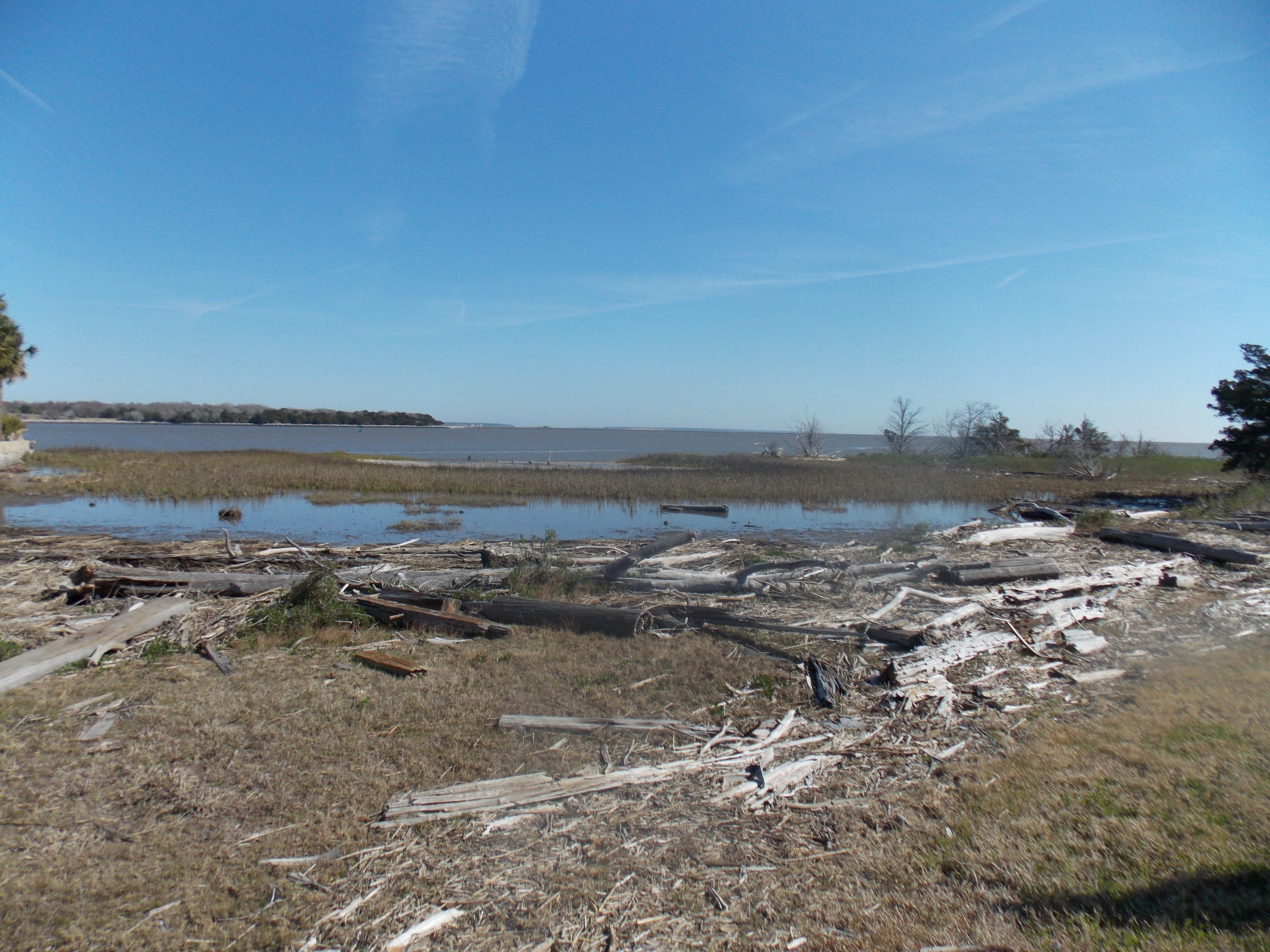
Historic Dike | Additional Description: One of the first tasks the Army Corps of Engineers had to accomplish in order to build Fort Pulaski on the unstable marshlands of Cockspur Island was to construct an earthen dike to prevent flooding. The historic earthen dike is approximately two miles in circumference and twelve feet above sea level. It is still effective today in preventing high tides from submerging Cockspur Island.
Submitted: March 10, 2013, by Stanley and Terrie Howard of Greer, South Carolina.
Database Locator Identification Number: p236043
File Size: 3.670 Megabytes
To see the metadata that may be embedded in this photo, sign in and then return to this page.