Photograph as originally submitted to
this page in the Historical Marker Database
www.HMdb.org.
Click on photo to resize in browser. Scroll down to see metadata.
Photographer: Michael James
Taken: May 18, 2008
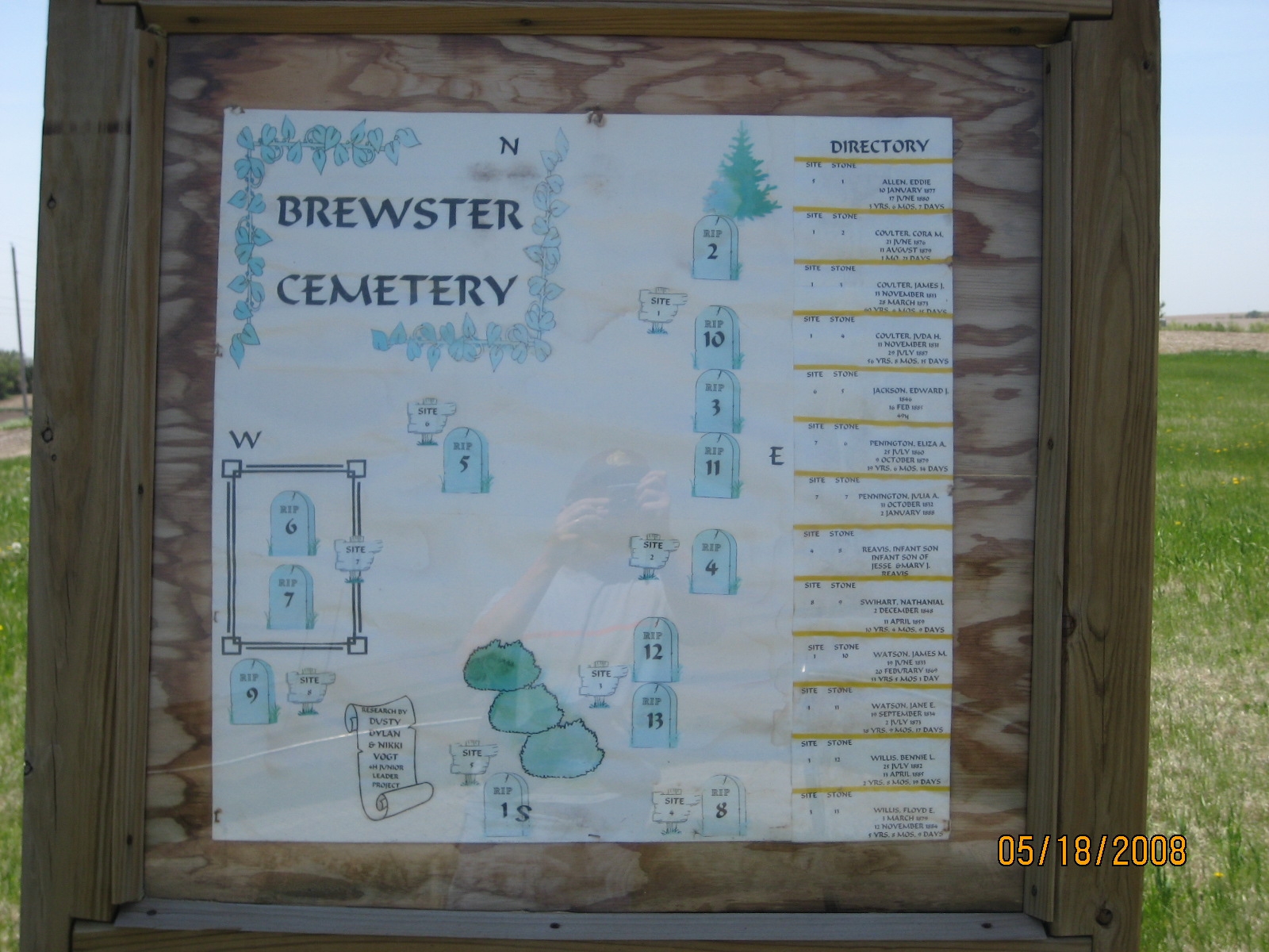
Caption:
Hand-drawn map of the burial sites. | Additional Description: Map created by Dusty, Dylan, and Nikki Vogt as a 4H Junior Leader project.
Submitted: May 19, 2008, by Michael James of Fort Calhoun, Nebraska.
Database Locator Identification Number: p23872
File Size: 0.465 Megabytes
To see the metadata that may be embedded in this photo, sign in and then return to this page.