Photograph as originally submitted to
this page in the Historical Marker Database
www.HMdb.org.
Click on photo to resize in browser. Scroll down to see metadata.
Photographer: Don Morfe
Taken: April 2, 2013
Caption:
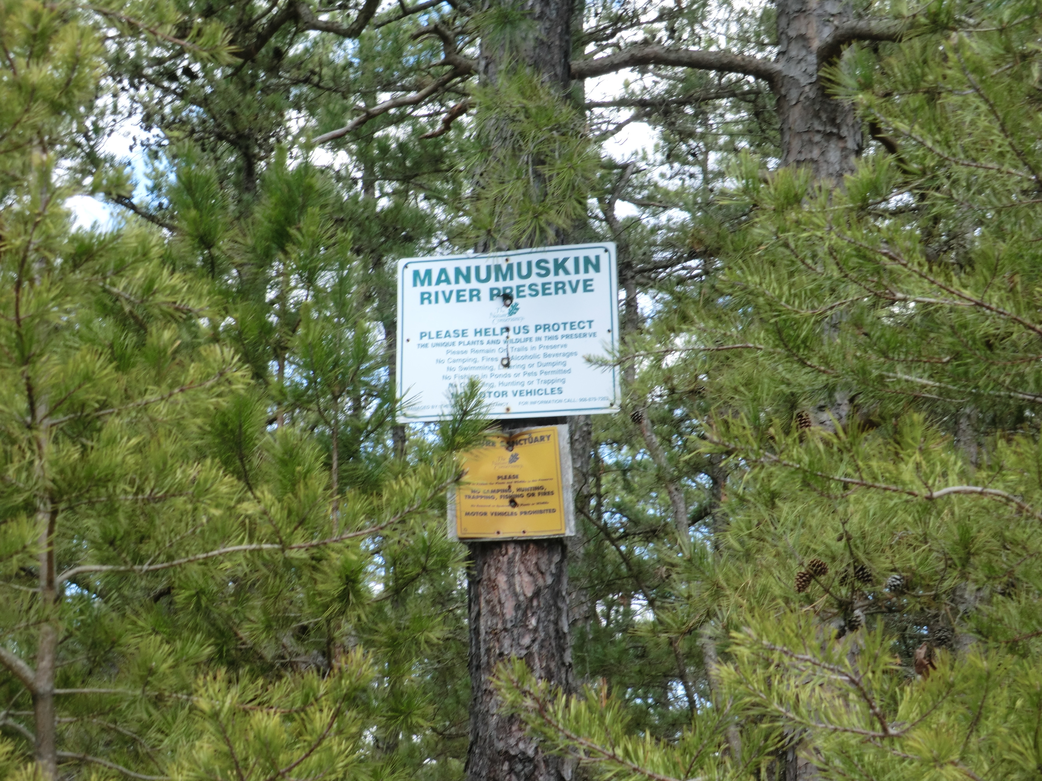
Slipping Away Marker | Additional Description: The Manumuskin River Preserve Sign GPS is N39.3317 W74.5825. It is in the same parking area at the Slipping Away Marker.
Submitted: April 16, 2013, by Don Morfe of Baltimore, Maryland.
Database Locator Identification Number: p238992
File Size: 3.053 Megabytes
To see the metadata that may be embedded in this photo, sign in and then return to this page.