Photograph as originally submitted to
this page in the Historical Marker Database
www.HMdb.org.
Click on photo to resize in browser. Scroll down to see metadata.
Photographer: Craig Swain
Taken: April 5, 2008
Caption:
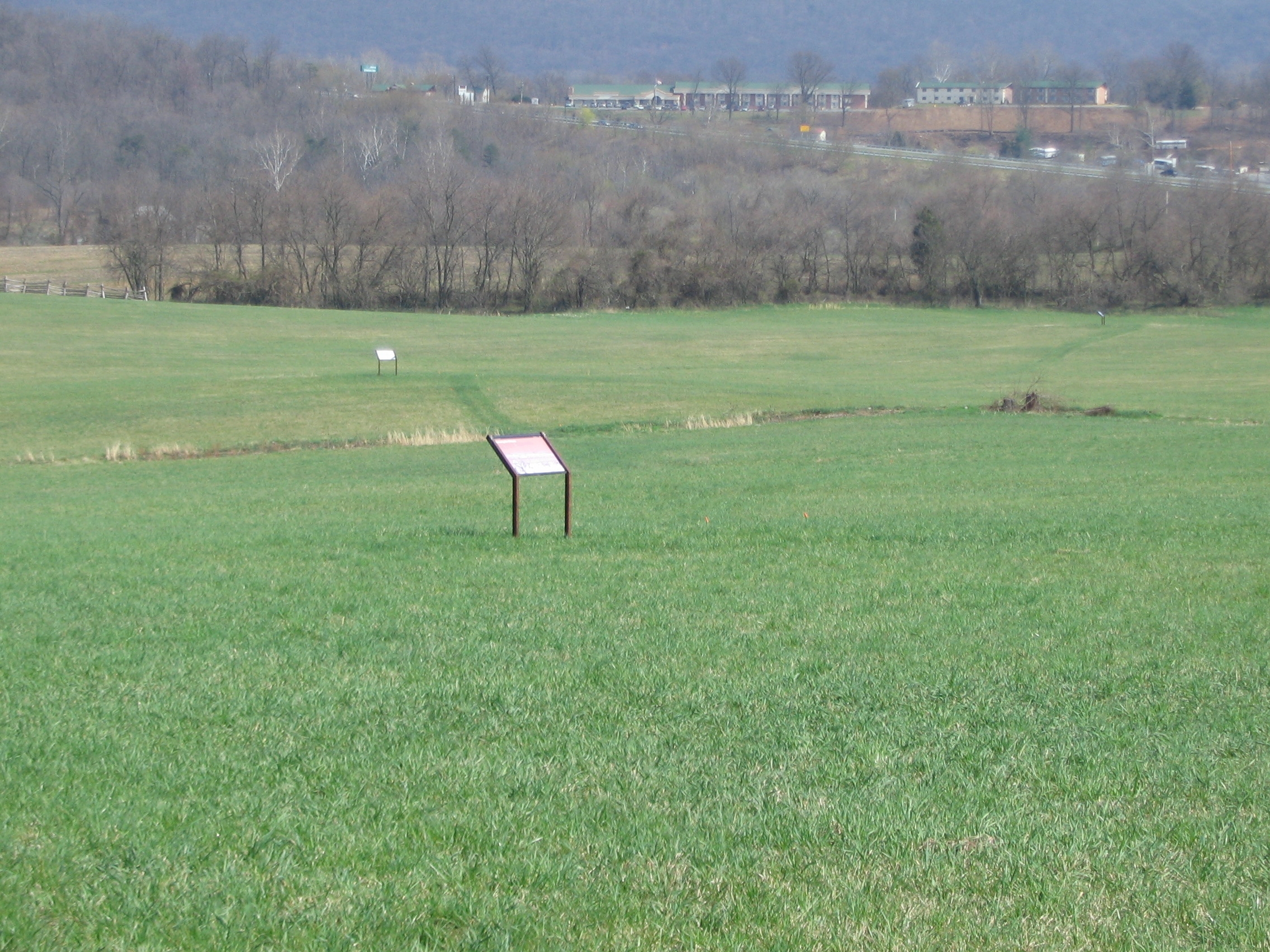
The Marker and Trail Wayside | Additional Description: The
Assessing the Obstacle marker stands along the trail, which is simply a mown section of the field at this point. The
Confederates Converge and
Fake Attack - September 14th markers are seen in the distance. Beyond the tree line on the right is US 340, bisecting Bolivar Heights.
Submitted: May 21, 2008, by Craig Swain of Leesburg, Virginia.
Database Locator Identification Number: p23950
File Size: 1.317 Megabytes
To see the metadata that may be embedded in this photo, sign in and then return to this page.