Photograph as originally submitted to
this page in the Historical Marker Database
www.HMdb.org.
Click on photo to resize in browser. Scroll down to see metadata.
Photographer: Craig Swain
Taken: April 5, 2008
Caption:
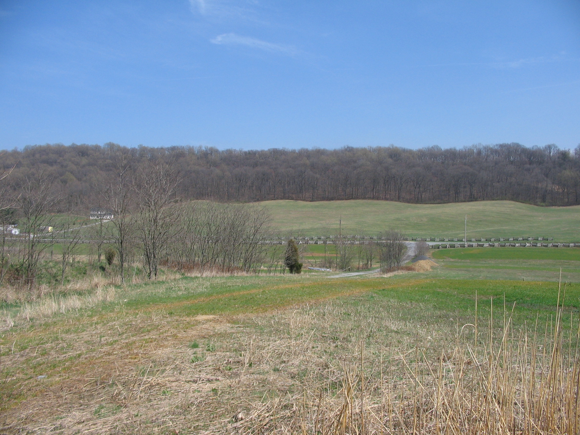
Confederate View of Bolivar Heights | Additional Description: On the opposite side of the valley, looking back toward the marker's location. Bolivar Heights is the wooded high ground in the distance. Bakerton Road runs from left to right. Notice the "fingers" extending off Bolivar Heights.
Submitted: May 26, 2008, by Craig Swain of Leesburg, Virginia.
Database Locator Identification Number: p24306
File Size: 1.330 Megabytes
To see the metadata that may be embedded in this photo, sign in and then return to this page.