Photograph as originally submitted to
this page in the Historical Marker Database
www.HMdb.org.
Click on photo to resize in browser. Scroll down to see metadata.
Photographer: Dale K. Benington
Taken: August 1, 2012
Caption:
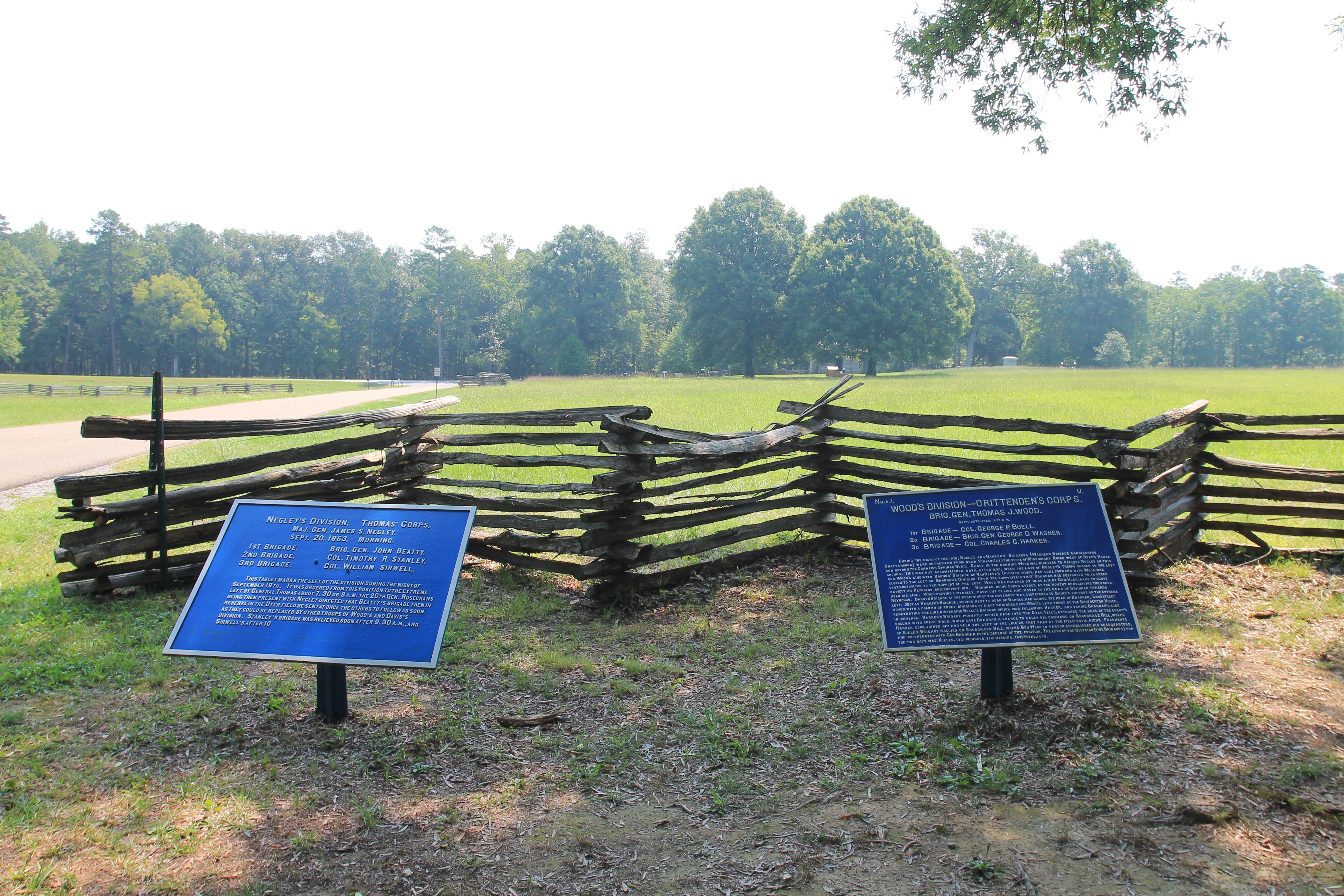
Woods Division Marker | Additional Description: View of two Union Historical Tablets, the Negley's Division Tablet to the left, and the Wood's Division Tablet to the right, and in the background, Dyer Road is seen to the left of the picture and immediately behind the tablets is the split rail fence that marked the western boundary of the Brotherton Field.
Submitted: May 31, 2013, by Dale K. Benington of Toledo, Ohio.
Database Locator Identification Number: p243304
File Size: 6.633 Megabytes
To see the metadata that may be embedded in this photo, sign in and then return to this page.