Photograph as originally submitted to
this page in the Historical Marker Database
www.HMdb.org.
Click on photo to resize in browser. Scroll down to see metadata.
Photographer: Craig Swain
Caption:
From Manassas to Chantilly | Additional Description: Jackson left the battleground of 2nd Manassas taking Gum Springs Road to the Little River Turnpike (somewhat represented today in that area as US 50). After an uncharacteristically slow march, Jackson brought his men down the Turnpike toward Fairfax City. His objective was the intersection of the Little River and Warrenton Turnpikes (generally the same as modern US 29 in western Fairfax County). However, the Federals had shifted enough to the east to block Jackson.
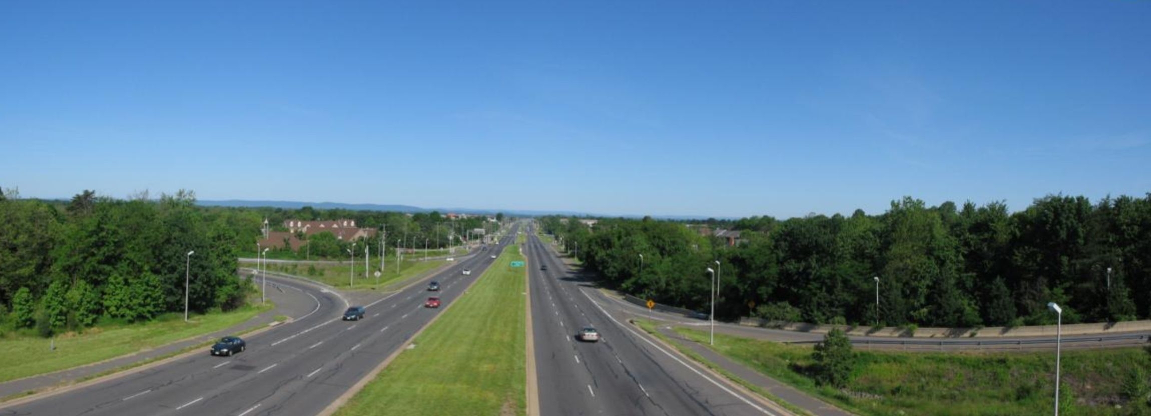
This view, taken from the overpass of Fairfax Parkway (CR 7100) over US 50 just north of the marker location, offers a view of Jackson's approach. In the far distance to the left (south) of the highway is the northern end of the Bull Run Mountains.
Submitted: May 26, 2008, by Craig Swain of Leesburg, Virginia.
Database Locator Identification Number: p24352
File Size: 0.151 Megabytes
To see the metadata that may be embedded in this photo, sign in and then return to this page.