Photograph as originally submitted to
this page in the Historical Marker Database
www.HMdb.org.
Click on photo to resize in browser. Scroll down to see metadata.
Photographer: Craig Swain
Taken: March 1, 2008
Caption:
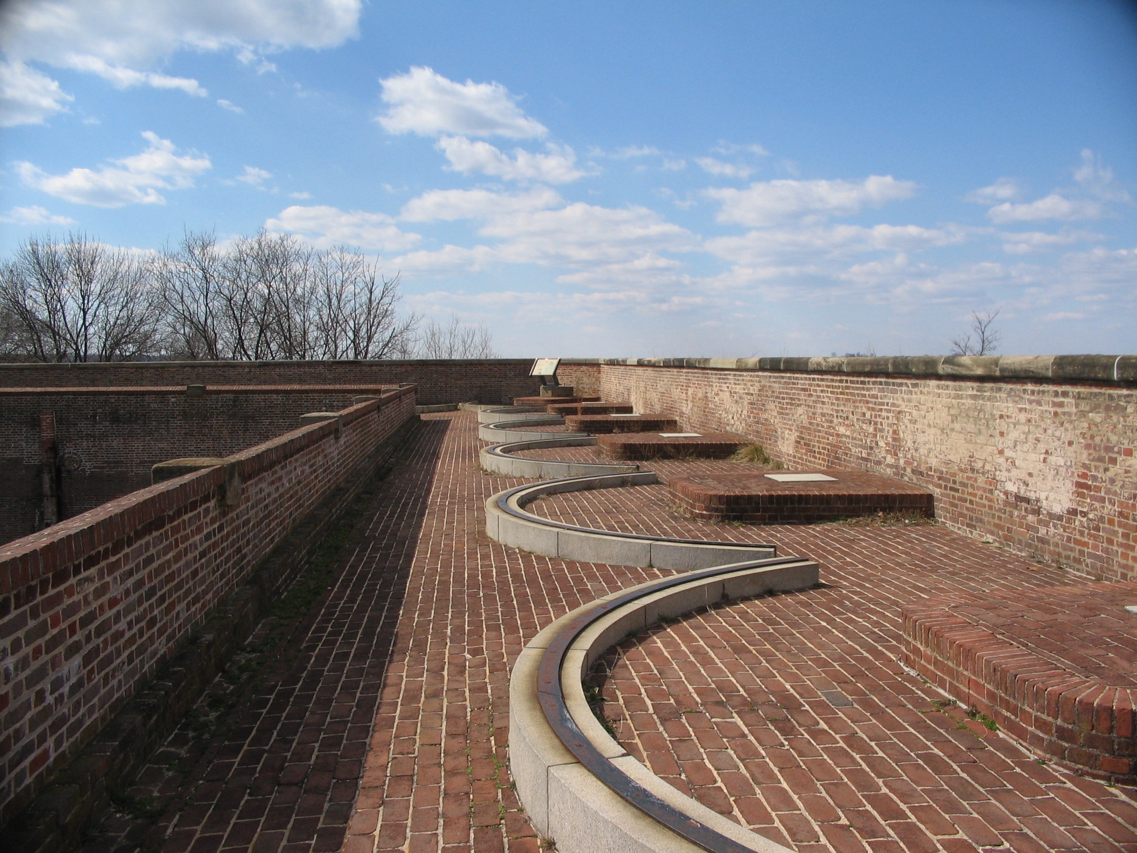
Minefields Wayside | Additional Description: The control building stood at the southernmost corner of the bastion, where the marker now stands.
Submitted: June 1, 2008, by Craig Swain of Leesburg, Virginia.
Database Locator Identification Number: p24701
File Size: 1.210 Megabytes
To see the metadata that may be embedded in this photo, sign in and then return to this page.