Photograph as originally submitted to
this page in the Historical Marker Database
www.HMdb.org.
Click on photo to resize in browser. Scroll down to see metadata.
Photographer: Bill Coughlin
Taken: July 16, 2013
Caption:
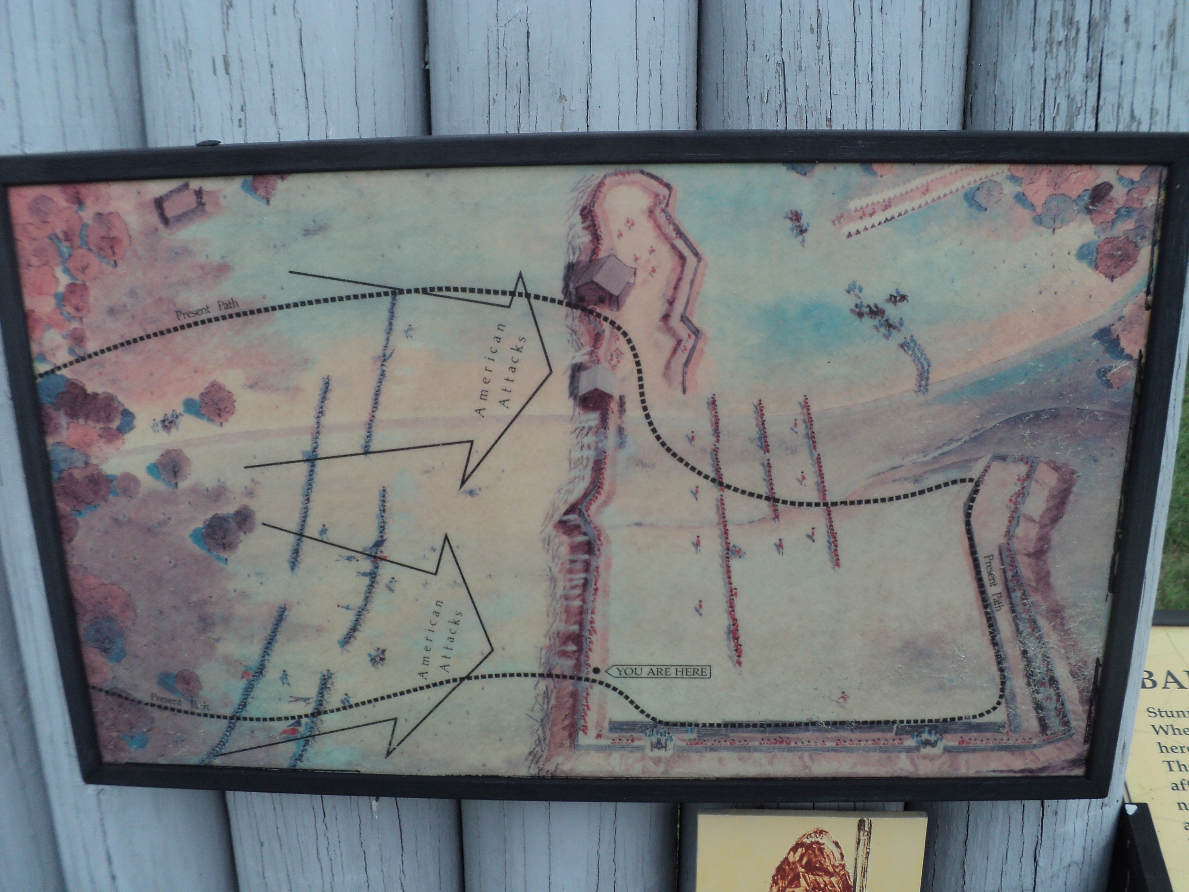
Battle Map from Marker | Additional Description: This map shows the marker’s position in the Balcarres Redoubt and the direction of the American attacks.
Submitted: July 17, 2013, by Bill Coughlin of Woodland Park, New Jersey.
Database Locator Identification Number: p247700
File Size: 4.516 Megabytes
To see the metadata that may be embedded in this photo, sign in and then return to this page.