Photograph as originally submitted to
this page in the Historical Marker Database
www.HMdb.org.
Click on photo to resize in browser. Scroll down to see metadata.
Photographer: Craig Swain
Taken: May 29, 2008
Caption:
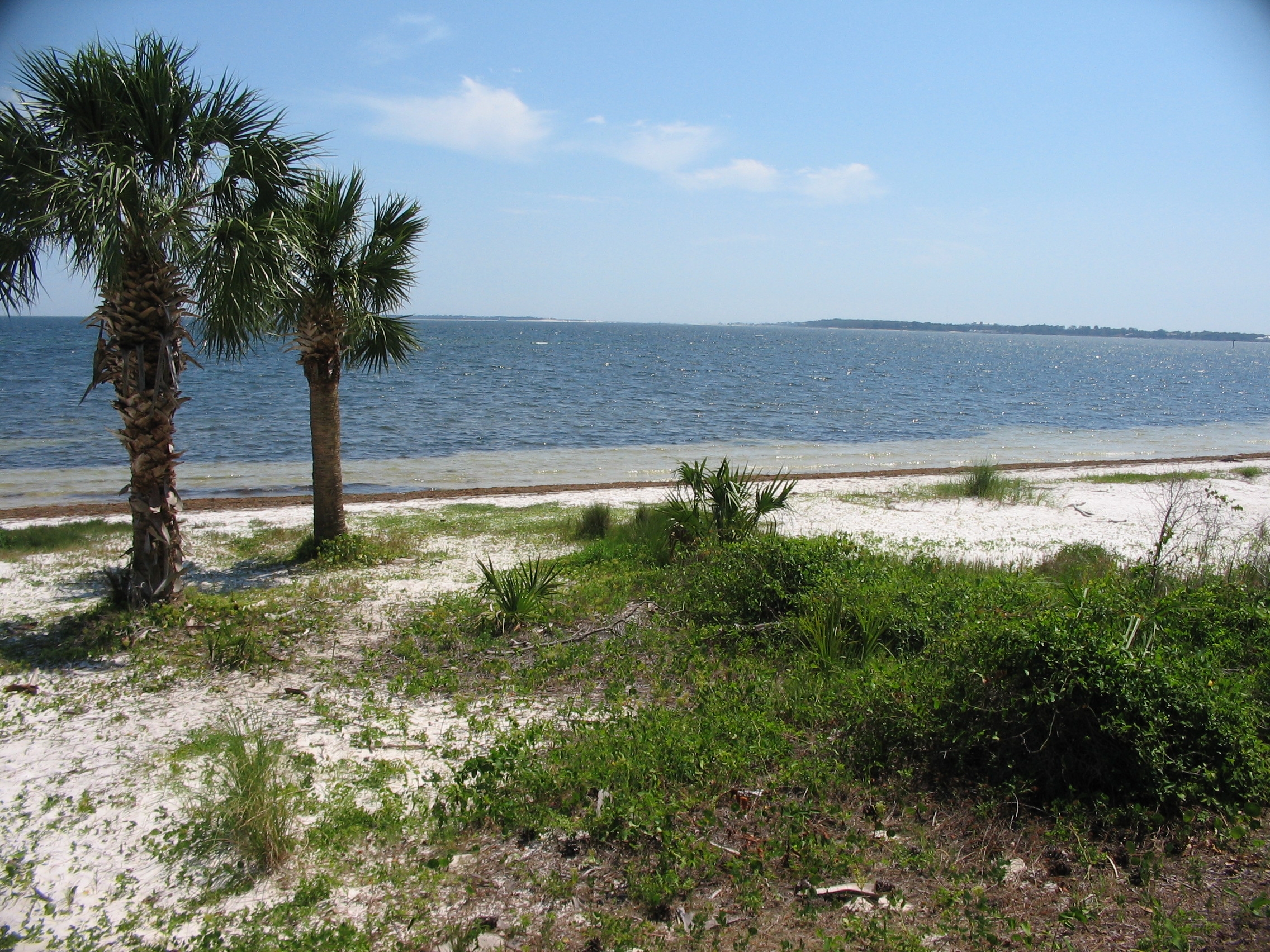
St. Andrew Bay | Additional Description: Hurricane Island was one of four Islands at the mouth of St Andrew Bay at the time of the Civil War. The others were Sand, Hammock, and Crooked Islands. A hurricane in 1868 shifted the barrier islands around considerably, and the resultant land was renamed Shell Island. Shell Island sits in the far distance, just right of the palm trees.
Submitted: June 5, 2008, by Craig Swain of Leesburg, Virginia.
Database Locator Identification Number: p25003
File Size: 1.583 Megabytes
To see the metadata that may be embedded in this photo, sign in and then return to this page.