Photograph as originally submitted to
this page in the Historical Marker Database
www.HMdb.org.
Click on photo to resize in browser. Scroll down to see metadata.
Photographer: Tom Fuchs
Caption:
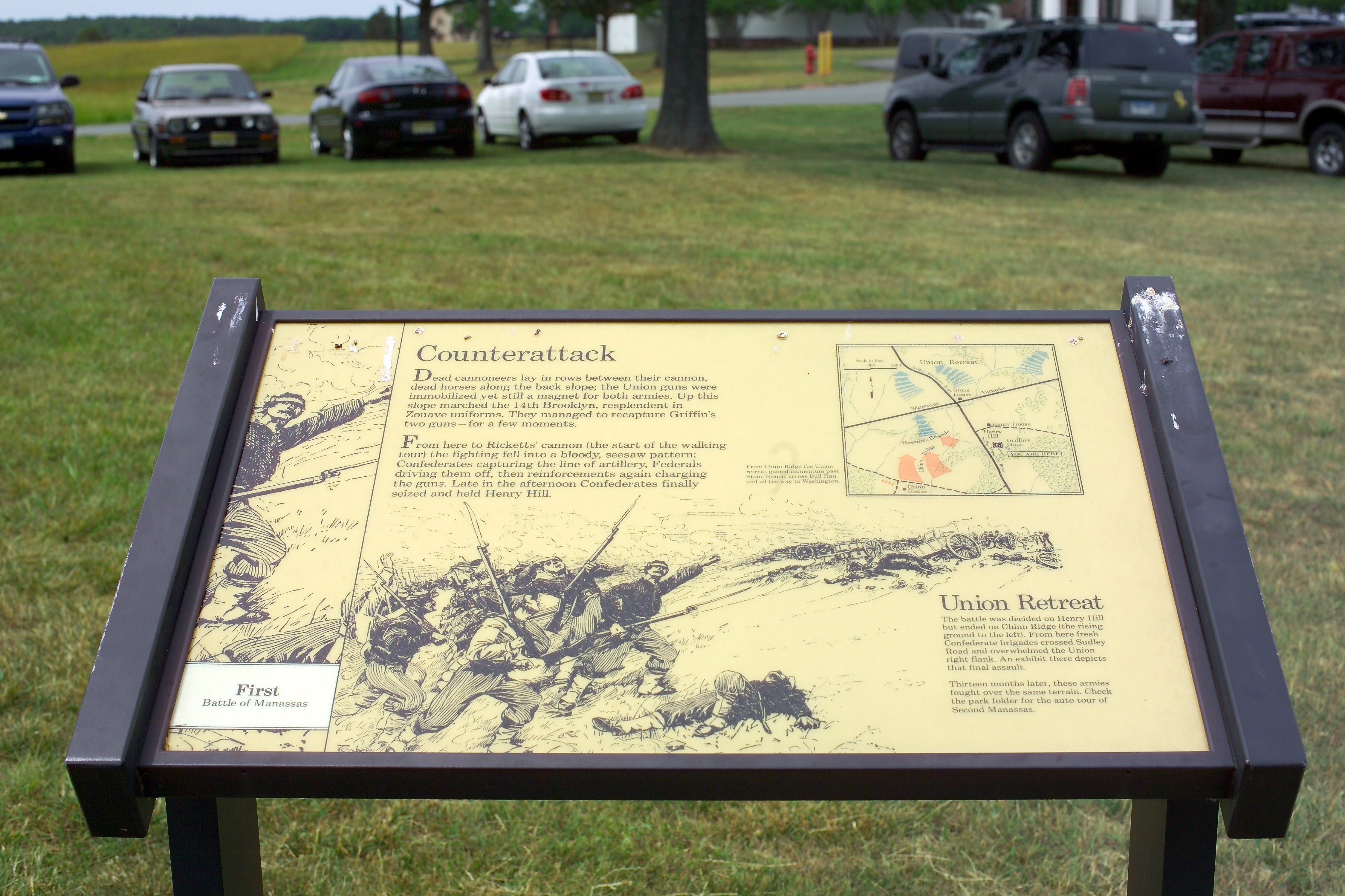
Counterattack Marker | Additional Description: Warrenton Turnpike shown on this map is now Lee Highway, U.S. Route 29. Older maps show it as U.S. 211.
Submitted: March 18, 2007, by Tom Fuchs of Greenbelt, Maryland.
Database Locator Identification Number: p2565
File Size: 1.641 Megabytes
To see the metadata that may be embedded in this photo, sign in and then return to this page.