Photograph as originally submitted to
this page in the Historical Marker Database
www.HMdb.org.
Click on photo to resize in browser. Scroll down to see metadata.
Photographer: Tom Fuchs
Taken: June 10, 2006
Caption:
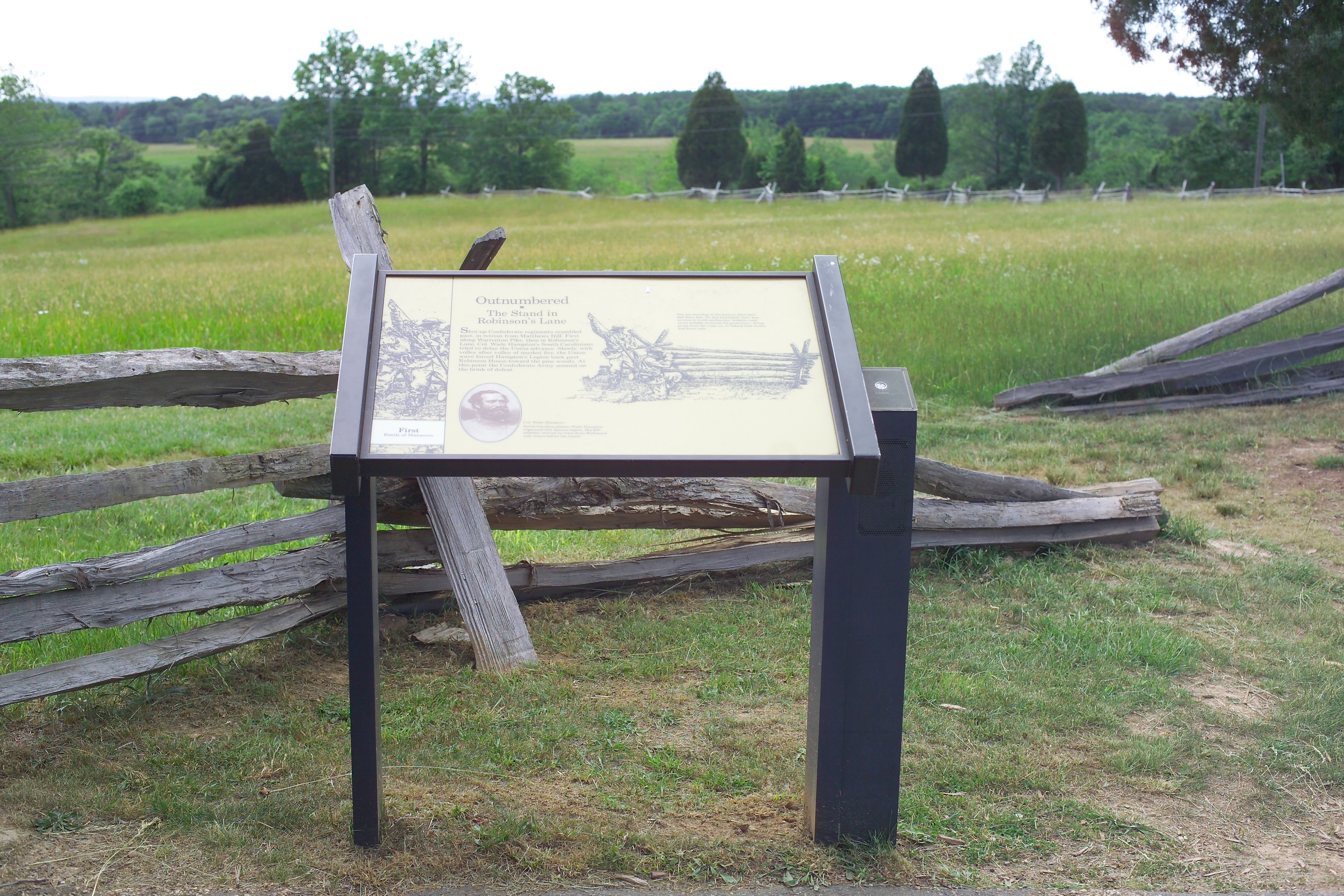
View Northwest from Henry Hill to Buck Hill In the Distance | Additional Description: The Robinson House is behind the photographer, who is standing on the farm lane. Warrenton Turnpike (Lee Highway) runs in a deep cut beyond the fence line in the distance.
Submitted: March 18, 2007, by Tom Fuchs of Greenbelt, Maryland.
Database Locator Identification Number: p2572
File Size: 3.725 Megabytes
To see the metadata that may be embedded in this photo, sign in and then return to this page.