Photograph as originally submitted to
this page in the Historical Marker Database
www.HMdb.org.
Click on photo to resize in browser. Scroll down to see metadata.
Photographer: Dale K. Benington
Taken: December 6, 2013
Caption:
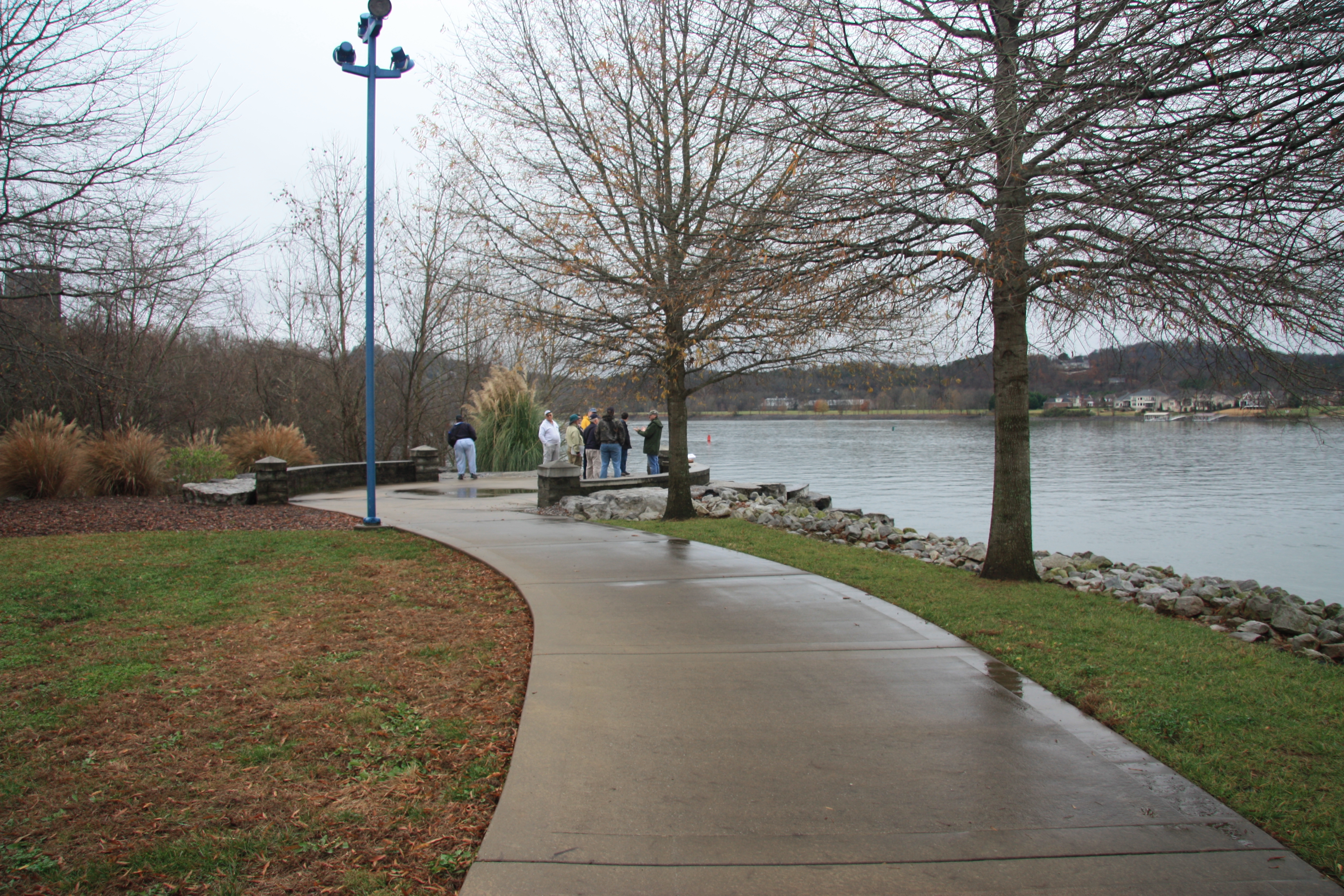
Civil War River Crossing | Additional Description: View of the end of the Riverpark walking path, situated just below the mouth of South Chickamauga Creek, on the southern side of the Tennessee River. Also a distant view of the north side of the Tennessee River, where the north end of the Federal pontoon bridge was situated.
Submitted: December 10, 2013, by Dale K. Benington of Toledo, Ohio.
Database Locator Identification Number: p262159
File Size: 6.316 Megabytes
To see the metadata that may be embedded in this photo, sign in and then return to this page.