Photograph as originally submitted to
this page in the Historical Marker Database
www.HMdb.org.
Click on photo to resize in browser. Scroll down to see metadata.
Photographer: Don Morfe
Taken: August 30, 2008
Caption:
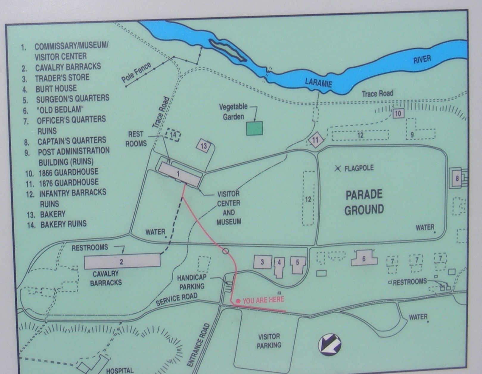
Close up map of Fort Laramie National Historic Site | Submitted: January 1, 2014, by Don Morfe of Baltimore, Maryland.
Database Locator Identification Number: p263351
File Size: 0.358 Megabytes
To see the metadata that may be embedded in this photo, sign in and then return to this page.