Photograph as originally submitted to
this page in the Historical Marker Database
www.HMdb.org.
Click on photo to resize in browser. Scroll down to see metadata.
Photographer: Dale K. Benington
Taken: June 15, 2013
Caption:
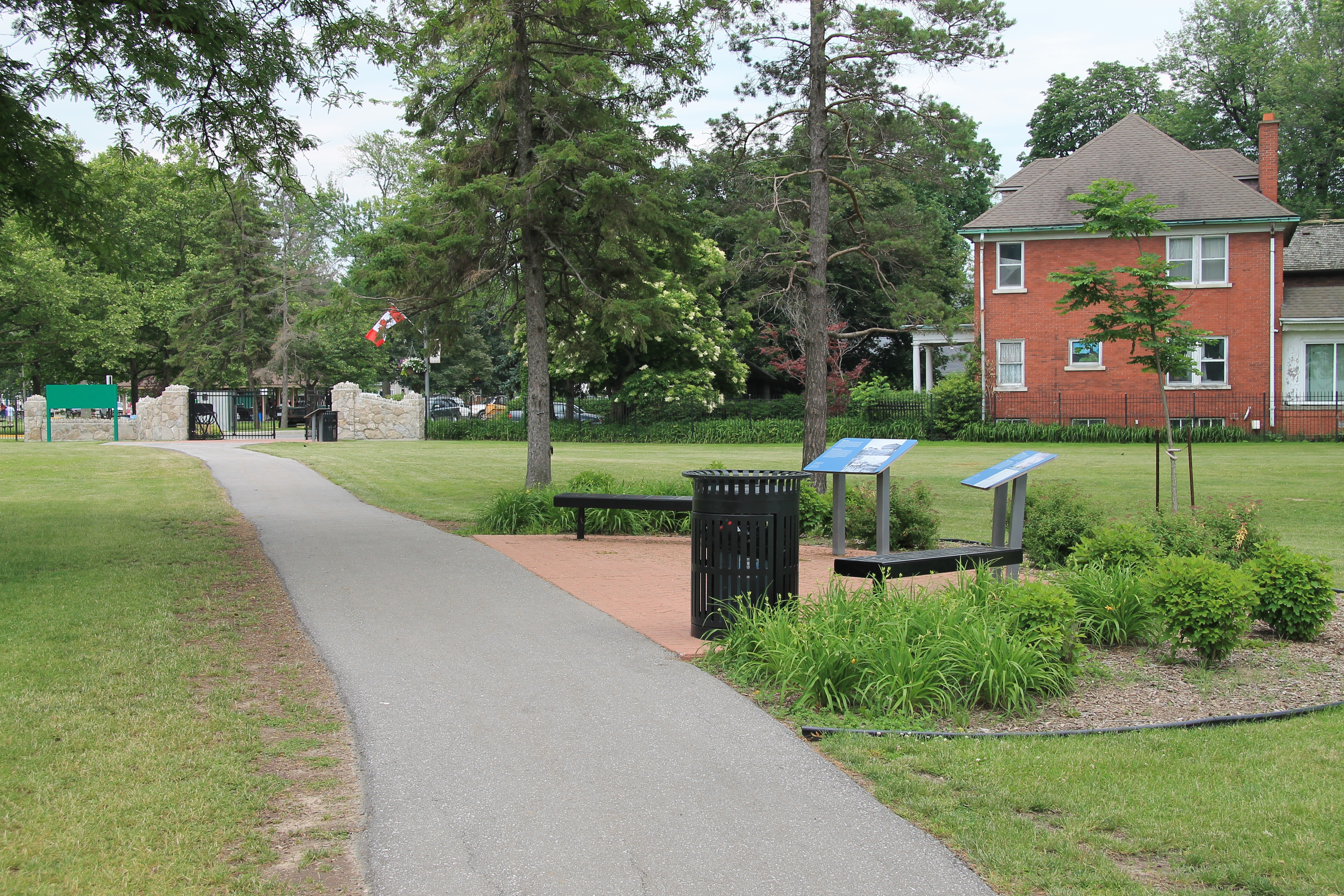
Strategic Location Marker | Additional Description: A closer view, looking south, of the historical marker, situated in a cluster of two markers, located just a short distance north from the south gateway entrance to the national park, along the riverside walking pathway.
Submitted: January 8, 2014, by Dale K. Benington of Toledo, Ohio.
Database Locator Identification Number: p264066
File Size: 8.741 Megabytes
To see the metadata that may be embedded in this photo, sign in and then return to this page.