Photograph as originally submitted to
this page in the Historical Marker Database
www.HMdb.org.
Click on photo to resize in browser. Scroll down to see metadata.
Photographer: Paul Crumlish
Taken: July 31, 2010
Caption:
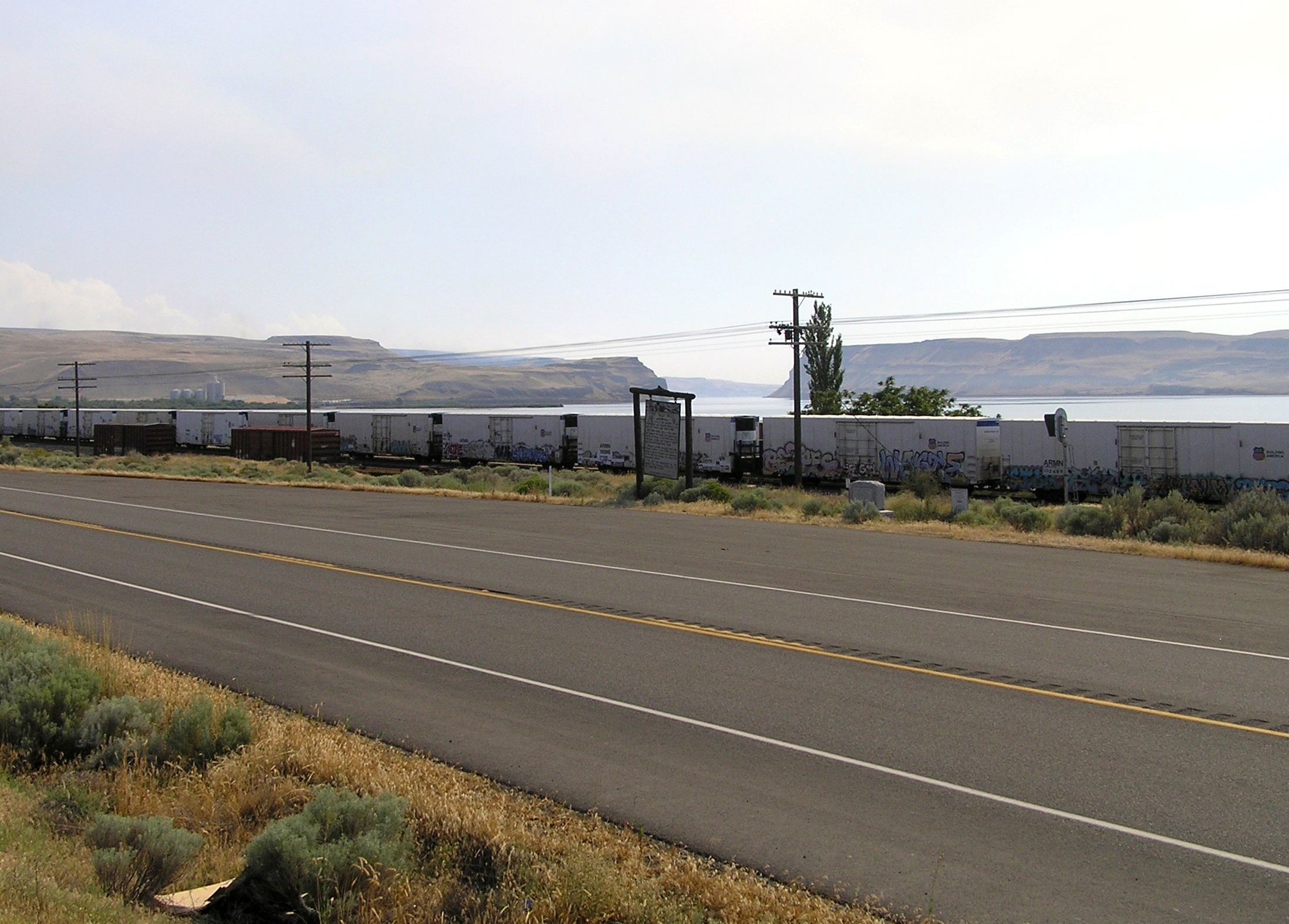
Wide view of the Fort Walla Walla and Fort Nez Perce Markers | Additional Description: The site of Fort Walla Walla is in the background, behind the marker, near of the left side of Wallula Gap. The area was flooded when the McNary Dam was built creating Lake Wallula.
Submitted: August 18, 2010, by PaulwC3 of Northern, Virginia.
Database Locator Identification Number: p265427
File Size: 2.040 Megabytes
To see the metadata that may be embedded in this photo, sign in and then return to this page.