Photograph as originally submitted to
this page in the Historical Marker Database
www.HMdb.org.
Click on photo to resize in browser. Scroll down to see metadata.
Photographer: Craig Swain
Taken: May 25, 2008
Caption:
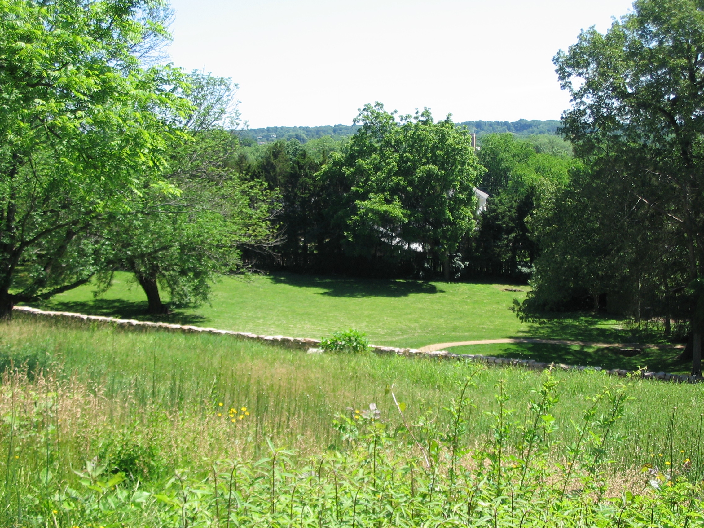
Confederate Position on the Slope | Additional Description: Looking down from Willis Hill onto the plateau. The stone wall of the Sunken Road is in the foreground. Early 20th-century buildings now cover what was open ground at the time of the battle.
Submitted: June 30, 2008, by Craig Swain of Leesburg, Virginia.
Database Locator Identification Number: p26687
File Size: 1.609 Megabytes
To see the metadata that may be embedded in this photo, sign in and then return to this page.