Photograph as originally submitted to
this page in the Historical Marker Database
www.HMdb.org.
Click on photo to resize in browser. Scroll down to see metadata.
Photographer: Craig Swain
Taken: June 28, 2008
Caption:
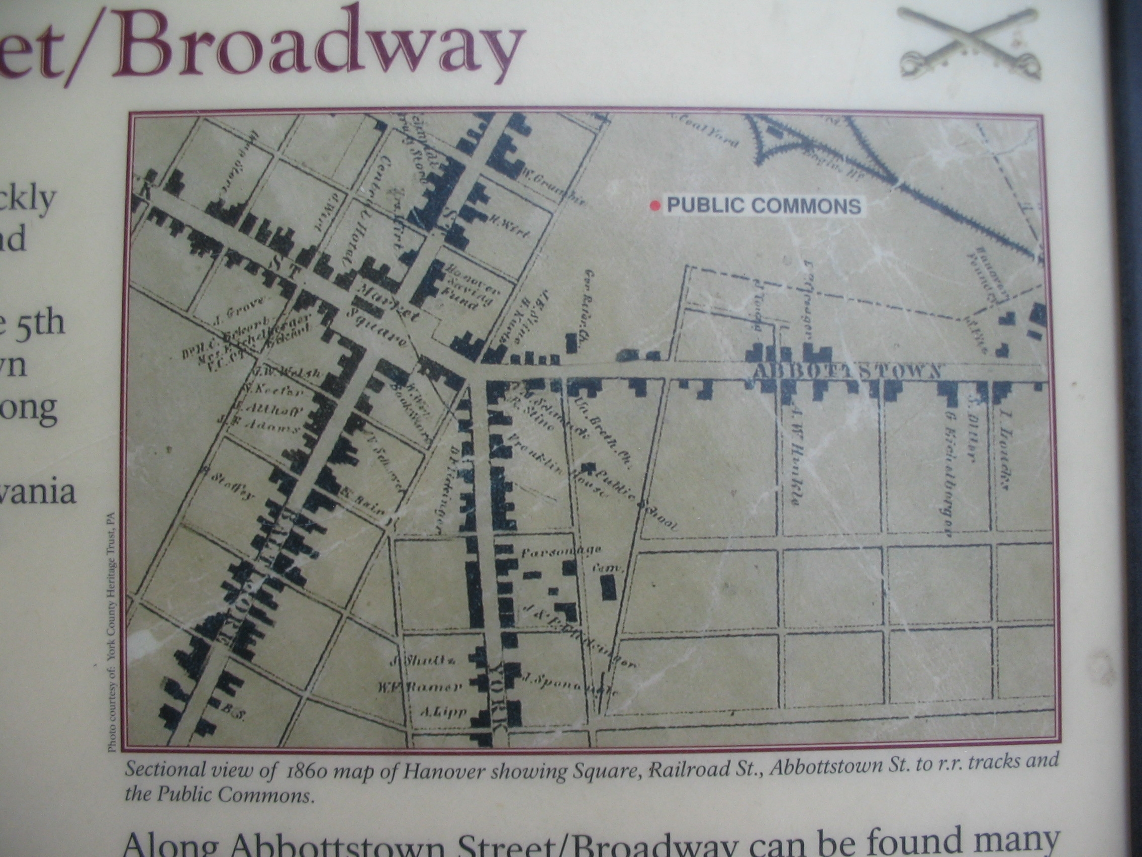
The 1860 Map of Hanover | Additional Description: Sectional view of 1860 map of Hanover showing Square, Railroad St., Abbottstown St. to r.r. tracks and the Public Commons.
Submitted: July 3, 2008, by Craig Swain of Leesburg, Virginia.
Database Locator Identification Number: p27004
File Size: 0.925 Megabytes
To see the metadata that may be embedded in this photo, sign in and then return to this page.