Photograph as originally submitted to
this page in the Historical Marker Database
www.HMdb.org.
Click on photo to resize in browser. Scroll down to see metadata.
Photographer: Richard Denney
Caption:
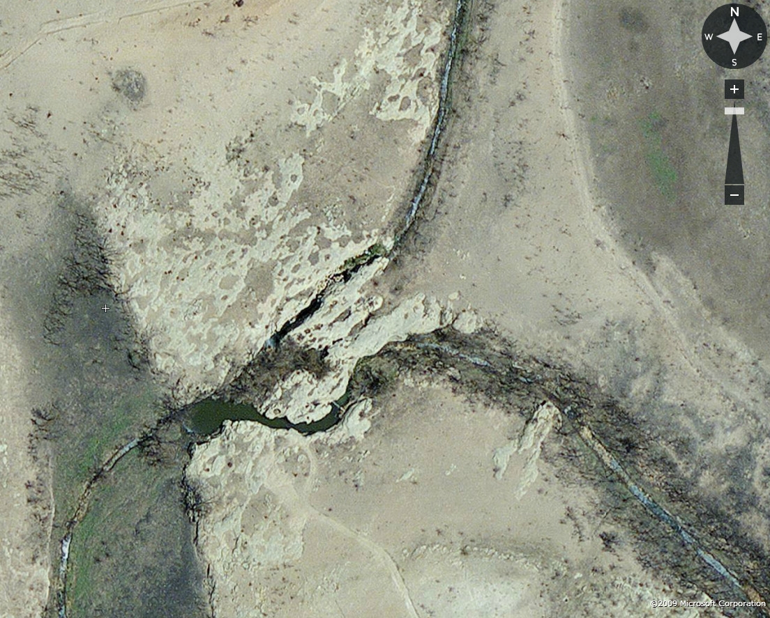
North and South Champion Creek | Additional Description: While the marker says the springs are now under Lake Champion, during droughts the lake dries up and the springs can be visible. The marker references trails where North and South Champion Creeks converged. During the drought of 2014, aerial photos clearly show the convergence of the creeks at lat/log 32.318391,-100.823943. Photo from FlashEarth.
Submitted: April 30, 2014, by Richard Denney of Austin, Texas.
Database Locator Identification Number: p271905
File Size: 0.360 Megabytes
To see the metadata that may be embedded in this photo, sign in and then return to this page.