Photograph as originally submitted to
this page in the Historical Marker Database
www.HMdb.org.
Click on photo to resize in browser. Scroll down to see metadata.
Photographer: Karl Stelly
Taken: June 1, 2014
Caption:
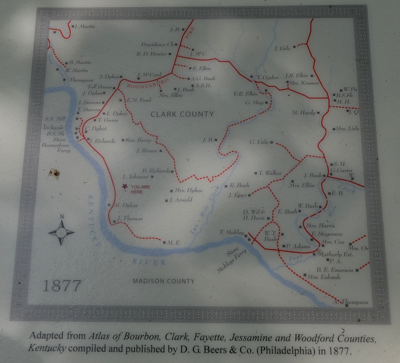
1877 Map of the Area | Additional Description: Adapted from "Atlas of Bourbon, Clark, Fayette, Jessamine, and Woodford Counties, Kentucky," compiled and published by D.G. Beers & Co. (Philadelphia) in 1877.
Submitted: June 23, 2014, by Karl Stelly of Gettysburg, Pennsylvania.
Database Locator Identification Number: p276859
File Size: 0.865 Megabytes
To see the metadata that may be embedded in this photo, sign in and then return to this page.