Photograph as originally submitted to
this page in the Historical Marker Database
www.HMdb.org.
Click on photo to resize in browser. Scroll down to see metadata.
Photographer: Tom Fuchs
Taken: July 1, 2008
Caption:
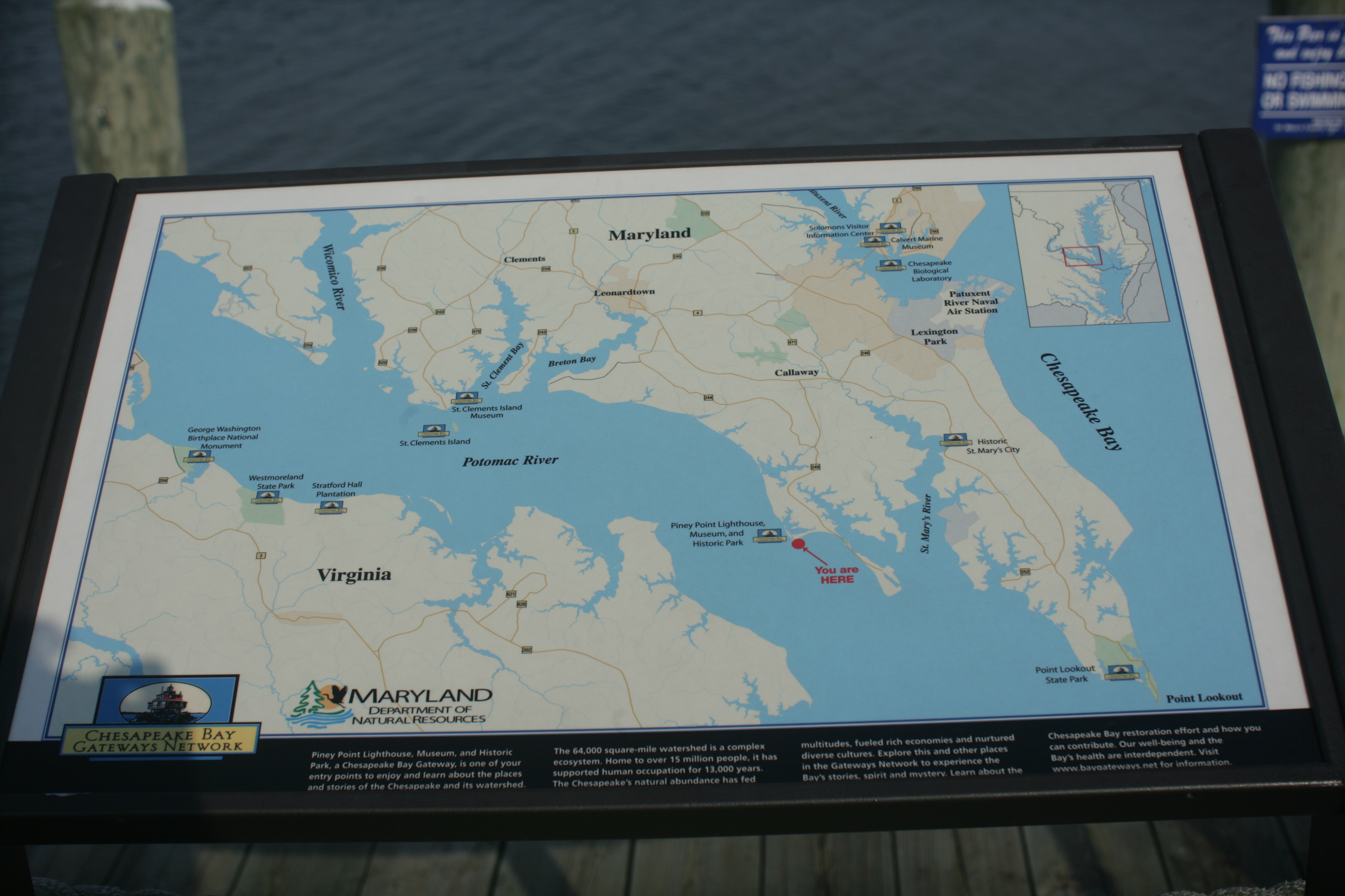
Map of Lower Potomac River and Chesapeake Bay Marker | Submitted: July 9, 2008, by Tom Fuchs of Greenbelt, Maryland.
Database Locator Identification Number: p27772
File Size: 8.924 Megabytes
To see the metadata that may be embedded in this photo, sign in and then return to this page.