Photograph as originally submitted to
this page in the Historical Marker Database
www.HMdb.org.
Click on photo to resize in browser. Scroll down to see metadata.
Photographer: Bill Kirchner
Taken: June 15, 2014
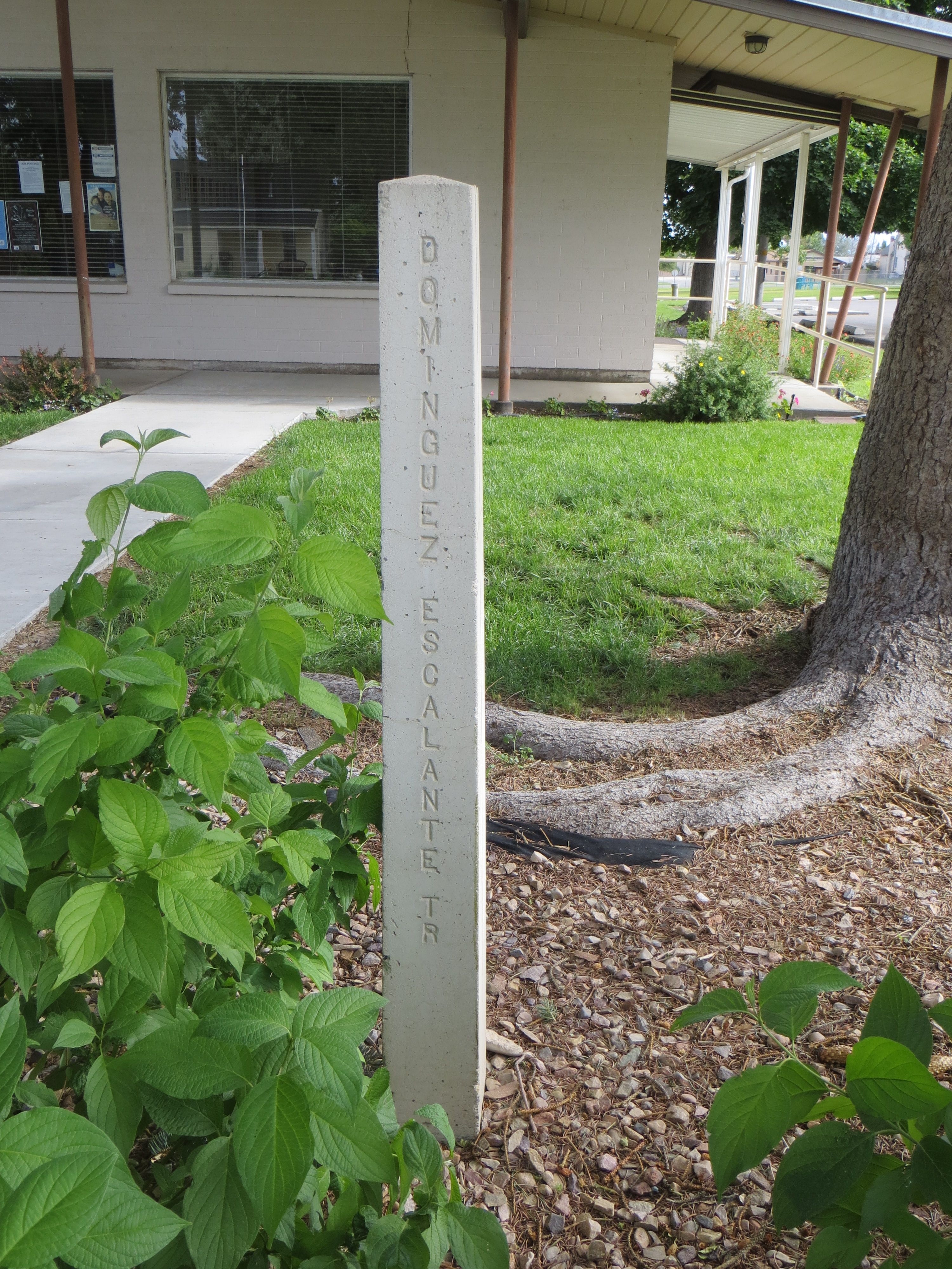
Caption:
Dominguez-Escalante Trail Marker | Additional Description: This Marker is located about 11.5 miles south in Mona Bicentennial Memorial Park (39° 48.978′ N, 111° 51.376′ W).
Submitted: July 12, 2014, by Bill Kirchner of Tucson, Arizona.
Database Locator Identification Number: p278859
File Size: 3.974 Megabytes
To see the metadata that may be embedded in this photo, sign in and then return to this page.