Photograph as originally submitted to
this page in the Historical Marker Database
www.HMdb.org.
Click on photo to resize in browser. Scroll down to see metadata.
Photographer: Rev. Ronald Irick
Taken: March 11, 2012
Caption:
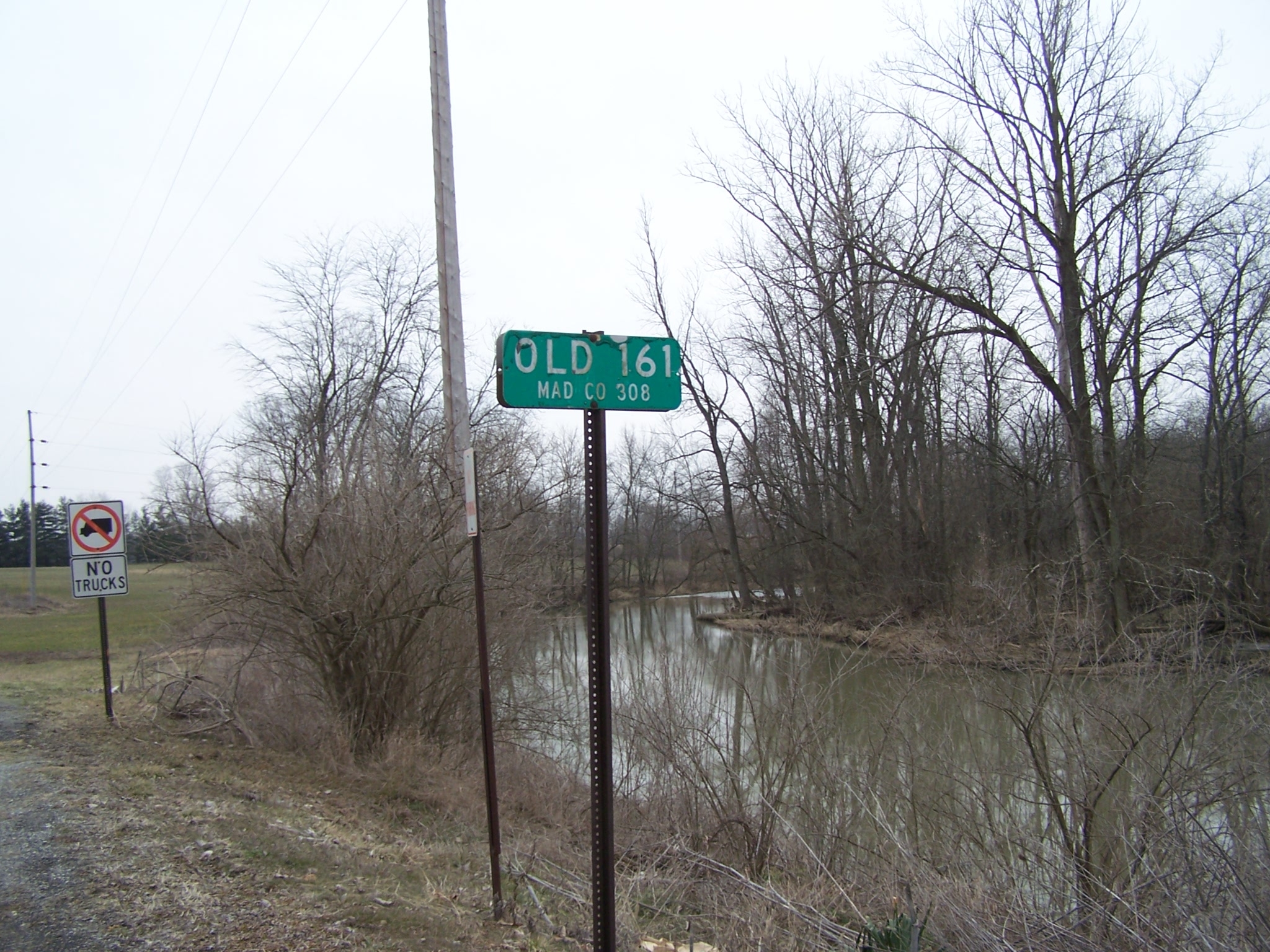
Old Indian Trail | Additional Description: former route of the trail, along the east bank of Darby Creek. Modern St Rt 161 has been straightened.
The boulder is opposite the point where the old and new alignments meet at the bridge.
Submitted: October 1, 2014, by Rev. Ronald Irick of West Liberty, Ohio.
Database Locator Identification Number: p287543
File Size: 0.911 Megabytes
To see the metadata that may be embedded in this photo, sign in and then return to this page.