Photograph as originally submitted to
this page in the Historical Marker Database
www.HMdb.org.
Click on photo to resize in browser. Scroll down to see metadata.
Photographer: Mike Wintermantel
Taken: December 14, 2014
Caption:
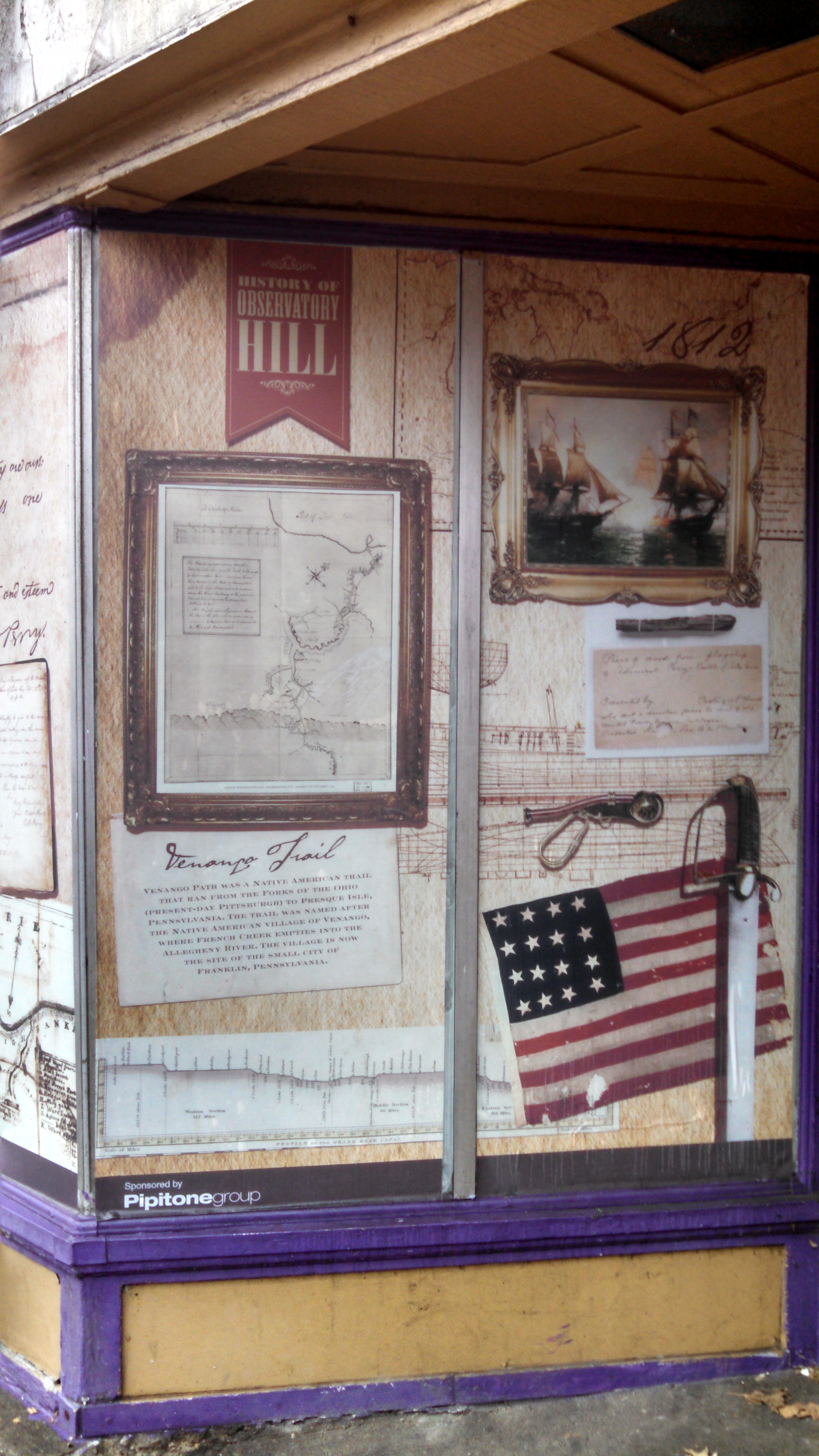
History of Observatory Hill Marker | Additional Description:
Panel 9
Venango Trail
Venango Path was a Native American trail that ran from the Forks of the Ohio (present day Pittsburgh) to Presque Isle, Pennsylvania. The trail was named after the Native American village of Venango, where French Creek empties into the Allegheny River. The village is now the site of the small city of Franklin, Pennsylvania.
Submitted: December 17, 2014, by Mike Wintermantel of Pittsburgh, Pennsylvania.
Database Locator Identification Number: p295437
File Size: 1.715 Megabytes
To see the metadata that may be embedded in this photo, sign in and then return to this page.