Photograph as originally submitted to
this page in the Historical Marker Database
www.HMdb.org.
Click on photo to resize in browser. Scroll down to see metadata.
Photographer: Richard Denney
Caption:
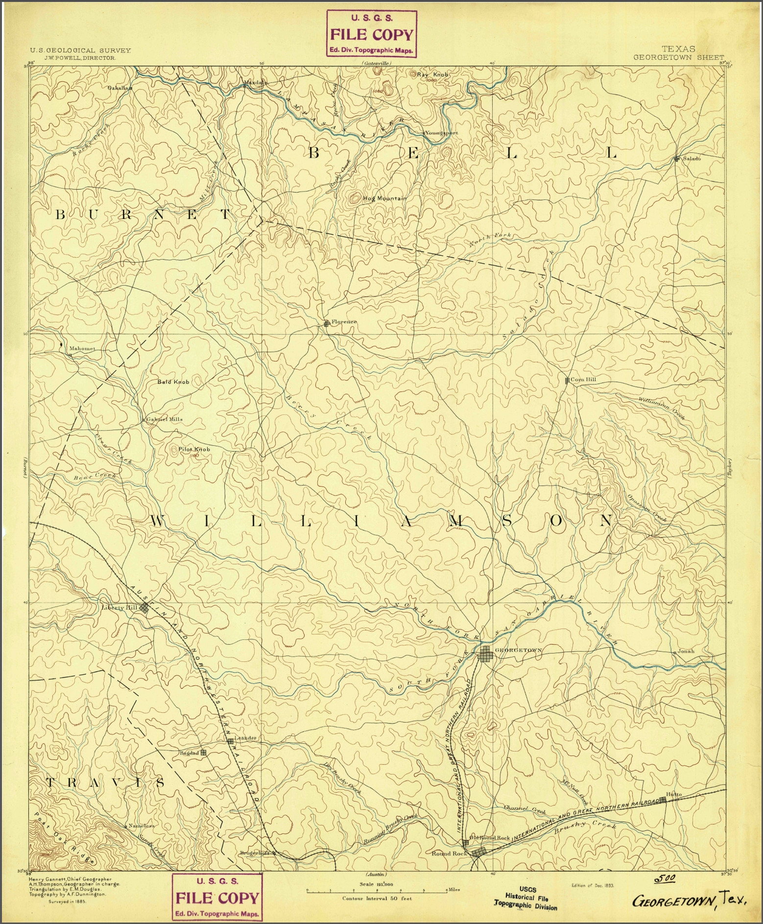
USGS 1893 map (surveyed 1885) showing Corn Hill, Texas | Additional Description: See USGS US Topo and Historical Topographic Map Collection, Georgetown, Texas, 1893 (surveyed 1885).
High resolution JPEG, click to read.
Submitted: February 2, 2015, by Richard Denney of Austin, Texas.
Database Locator Identification Number: p299390
File Size: 1.342 Megabytes
To see the metadata that may be embedded in this photo, sign in and then return to this page.