Photograph as originally submitted to
this page in the Historical Marker Database
www.HMdb.org.
Click on photo to resize in browser. Scroll down to see metadata.
Photographer: Don Morfe
Taken: January 31, 2015
Caption:
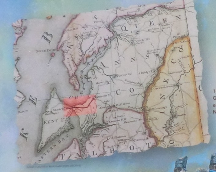
Close up of the map on the Crossing Point Marker | Additional Description: 1813 map by Dennis Griffiths shows the road across Kent Island and The Narrows to Queenstown.
Submitted: February 14, 2015, by Don Morfe of Baltimore, Maryland.
Database Locator Identification Number: p300315
File Size: 0.105 Megabytes
To see the metadata that may be embedded in this photo, sign in and then return to this page.