Photograph as originally submitted to
this page in the Historical Marker Database
www.HMdb.org.
Click on photo to resize in browser. Scroll down to see metadata.
Photographer: Don Morfe
Taken: February 10, 2015
Caption:
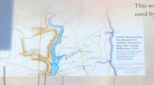
Close up of the map on the British Vengeance Marker | Additional Description: British Route along the Patuxent in 1814 by American Maj. Gen. James Wilkinson, 1816. Image/Courtesy Fort McHenry National Monument and Historic Shrine.
Submitted: February 17, 2015, by Don Morfe of Baltimore, Maryland.
Database Locator Identification Number: p300603
File Size: 0.050 Megabytes
To see the metadata that may be embedded in this photo, sign in and then return to this page.