Photograph as originally submitted to
this page in the Historical Marker Database
www.HMdb.org.
Click on photo to resize in browser. Scroll down to see metadata.
Photographer: J. Makali Bruton
Taken: March 13, 2015
Caption:
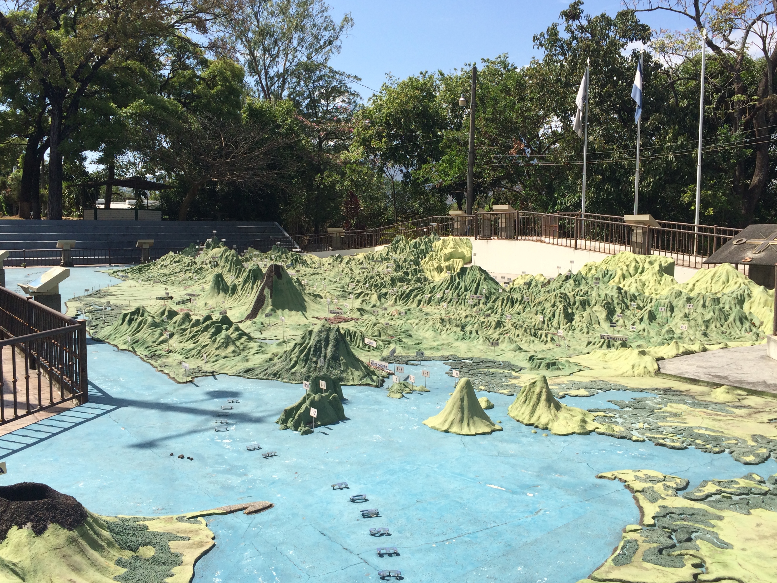
Relief Map of El Salvador | Additional Description: The map has a horizontal scale of 1:10,000 and a vertical scale of 1:2000. This view is from east (Gulf of Fonseca) towards the west (the Guatemalan border).
Submitted: March 14, 2015, by J. Makali Bruton of Accra, Ghana.
Database Locator Identification Number: p302634
File Size: 3.375 Megabytes
To see the metadata that may be embedded in this photo, sign in and then return to this page.