Photograph as originally submitted to
this page in the Historical Marker Database
www.HMdb.org.
Click on photo to resize in browser. Scroll down to see metadata.
Photographer: David Seibert
Taken: March 14, 2007
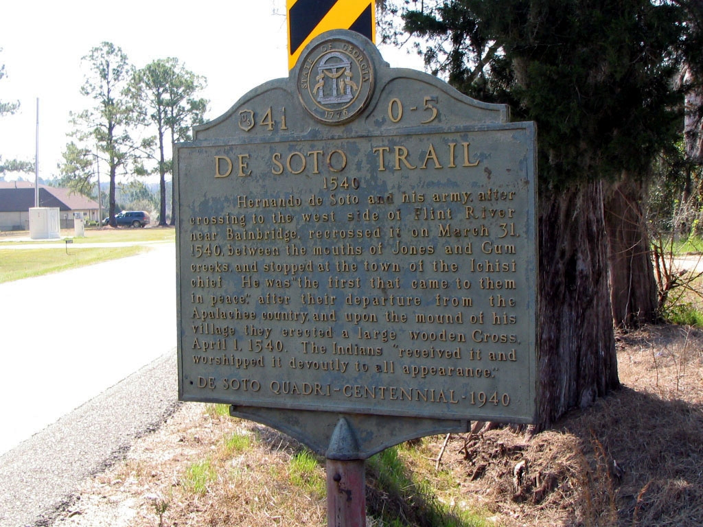
Caption:
De Soto Trail Marker; | Additional Description: US 41 is the road to left. Rose Ave (dirt)is visible behind trees to the right. Photo is looking south.
Submitted: August 4, 2008, by David Seibert of Sandy Springs, Georgia.
Database Locator Identification Number: p30578
File Size: 0.258 Megabytes
To see the metadata that may be embedded in this photo, sign in and then return to this page.