Photograph as originally submitted to
this page in the Historical Marker Database
www.HMdb.org.
Click on photo to resize in browser. Scroll down to see metadata.
Photographer: Dale K. Benington
Taken: August 19, 2014
Caption:
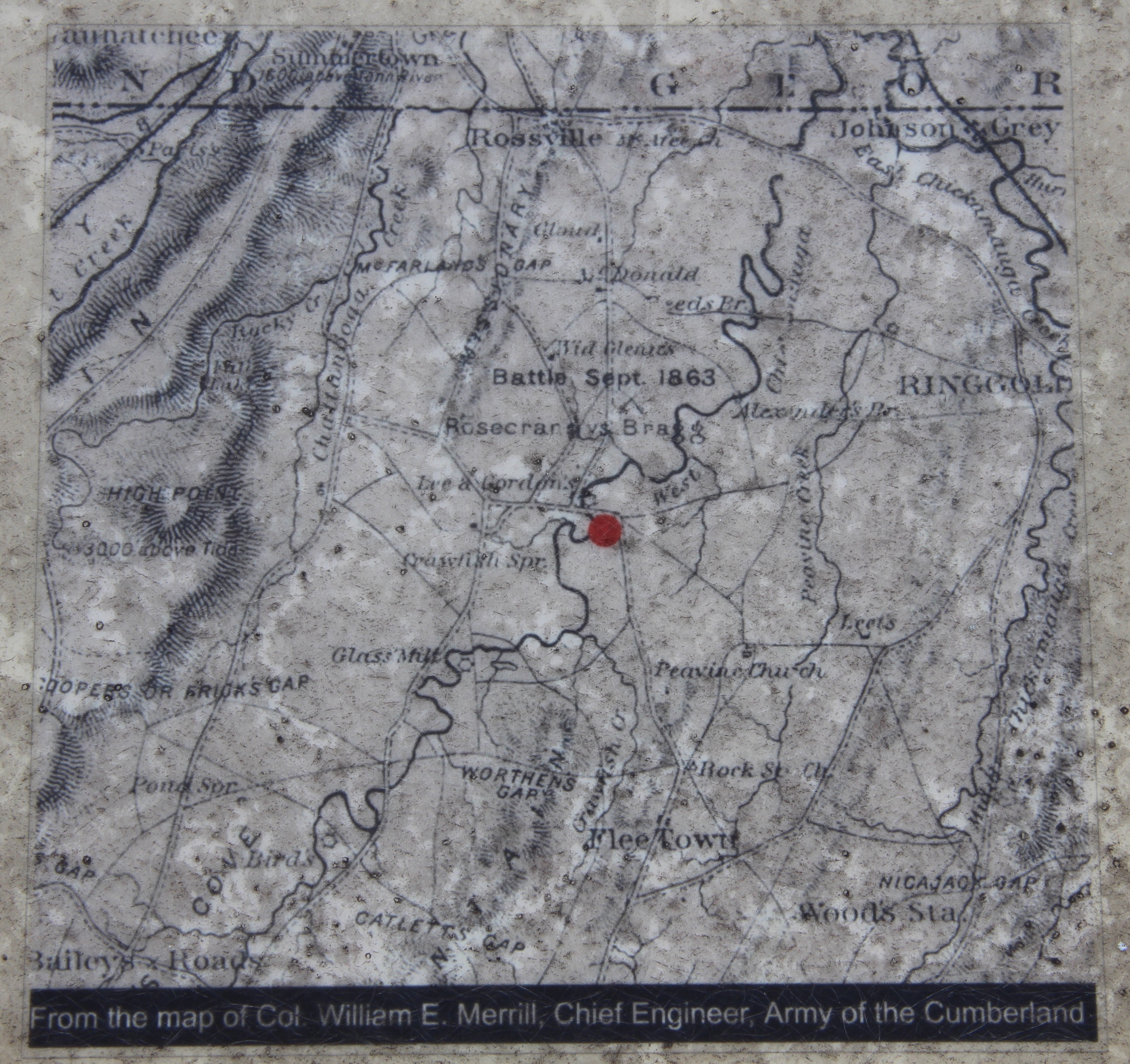
Clarissa Hunt Plantation Marker | Additional Description: Close-up view, that is displayed on the marker, of a map made by Colonel William E. Merrill, Chief Engineer of the Army of the Cumberland, that shows the location of the Hunt House.
Submitted: May 1, 2015, by Dale K. Benington of Toledo, Ohio.
Database Locator Identification Number: p306788
File Size: 4.034 Megabytes
To see the metadata that may be embedded in this photo, sign in and then return to this page.