Photograph as originally submitted to
this page in the Historical Marker Database
www.HMdb.org.
Click on photo to resize in browser. Scroll down to see metadata.
Photographer: Michael Herrick
Taken: May 7, 2015
Caption:
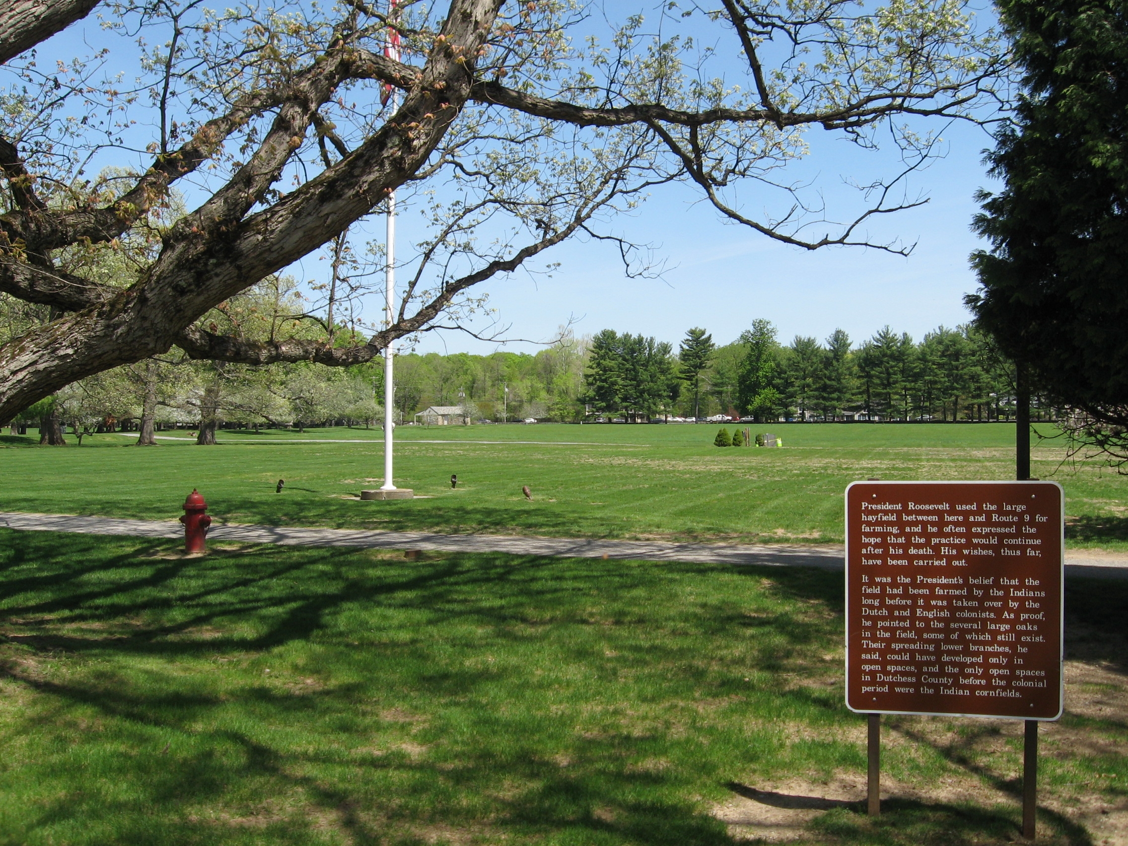
View East, Towards Rt 9. | Additional Description: President Roosevelt used the large hayfield between here and Route 9 for farming, and he often expressed the hope that the practice would continue after his death. His wishes, thus far, have been carried out.
It was the President’s belief that the field had been farmed by the Indians long before it was taken over by the Dutch and English colonists. As proof, he pointed to the several large oaks in the field, some of which still exist. Their spreading lower branches he said, could have developed only in open spaces, and the only open spaces in Dutchess County before the colonial period were the Indian Cornfields.
Submitted: May 9, 2015, by Michael Herrick of Southbury, Connecticut.
Database Locator Identification Number: p307605
File Size: 1.618 Megabytes
To see the metadata that may be embedded in this photo, sign in and then return to this page.