Photograph as originally submitted to
this page in the Historical Marker Database
www.HMdb.org.
Click on photo to resize in browser. Scroll down to see metadata.
Photographer: Rev. Ronald Irick
Taken: May 8, 2015
Caption:
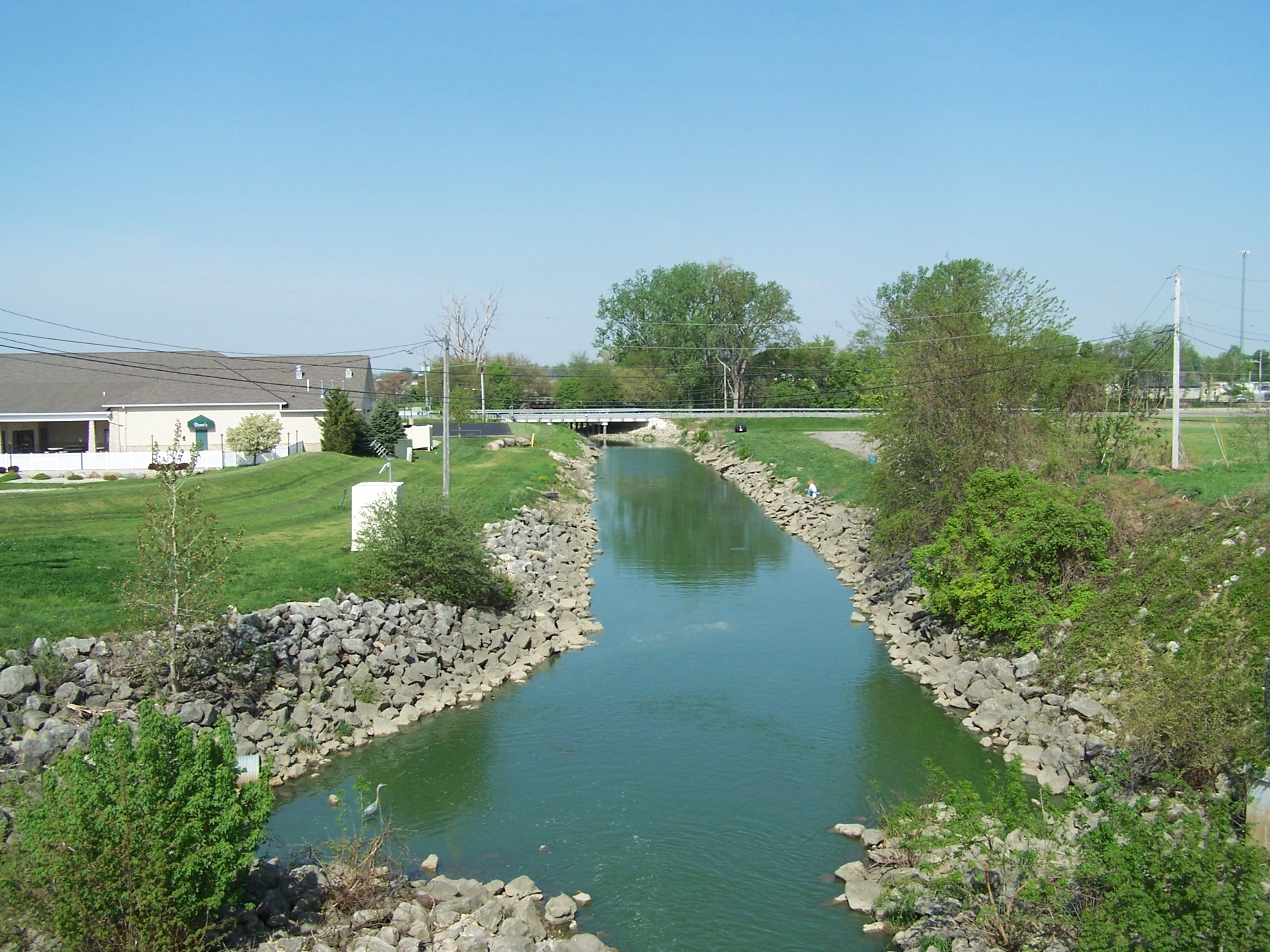
Grand Lake St. Marys Spillway Marker | Additional Description: the Beaver, flowing west. 19 miles west it joins the Wabash, eventually entering the Mississippi. The east end of the lake feeds the Miami & Erie Canal, flowing to the Maumee, which enters the Great Lakes, and eventually the Atlantic.
Submitted: May 14, 2015, by Rev. Ronald Irick of West Liberty, Ohio.
Database Locator Identification Number: p307861
File Size: 0.863 Megabytes
To see the metadata that may be embedded in this photo, sign in and then return to this page.