Photograph as originally submitted to
this page in the Historical Marker Database
www.HMdb.org.
Click on photo to resize in browser. Scroll down to see metadata.
Photographer: Michael Herrick
Taken: 47
Caption:
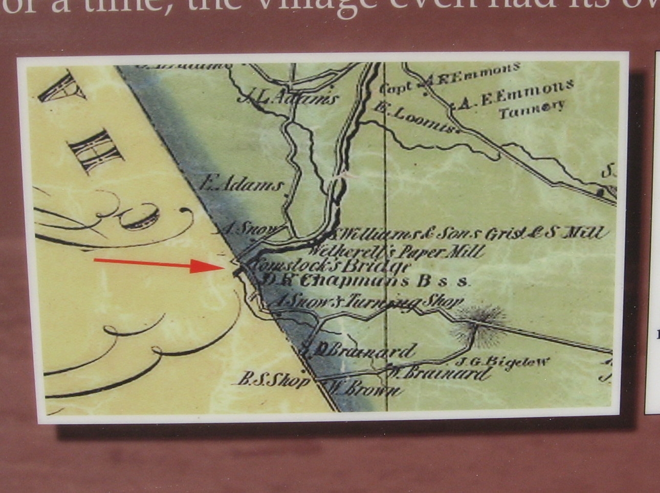
Comstock Covered Bridge Marker | Additional Description:
(detail from the west side)Detail from William E. Baker’s Map of New London County (1854) showing the location of Comstock’s Bridge (arrow). Nearby are a gristmill, sawmill, paper mill, blacksmith shop, and wood-turning shop.
Submitted: June 3, 2015, by Michael Herrick of Southbury, Connecticut.
Database Locator Identification Number: p310202
File Size: 0.255 Megabytes
To see the metadata that may be embedded in this photo, sign in and then return to this page.