Photograph as originally submitted to
this page in the Historical Marker Database
www.HMdb.org.
Click on photo to resize in browser. Scroll down to see metadata.
Photographer: Dale K. Benington
Taken: August 5, 2014
Caption:
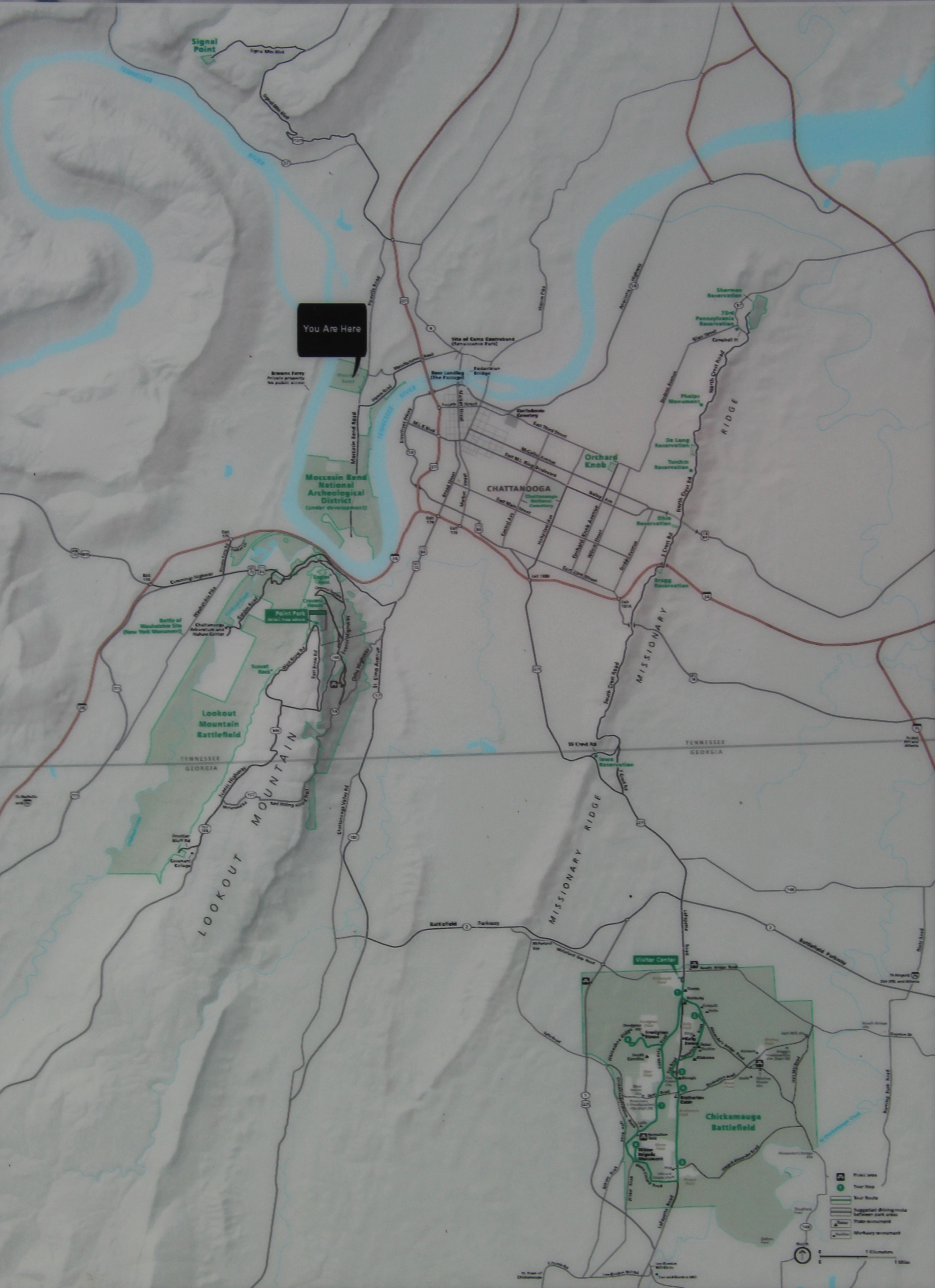
Brown's Ferry Federal Road Marker | Additional Description: Close-up view, that is displayed on the marker, of a map of the greater area around Chattanooga, TN, showing the areas of the Chickamauga and Chattanooga National Military Park being highlighted in green print and land areas of light green.
Submitted: June 9, 2015, by Dale K. Benington of Toledo, Ohio.
Database Locator Identification Number: p310744
File Size: 2.300 Megabytes
To see the metadata that may be embedded in this photo, sign in and then return to this page.