Photograph as originally submitted to
this page in the Historical Marker Database
www.HMdb.org.
Click on photo to resize in browser. Scroll down to see metadata.
Photographer: Dale K. Benington
Taken: August 5, 2014
Caption:
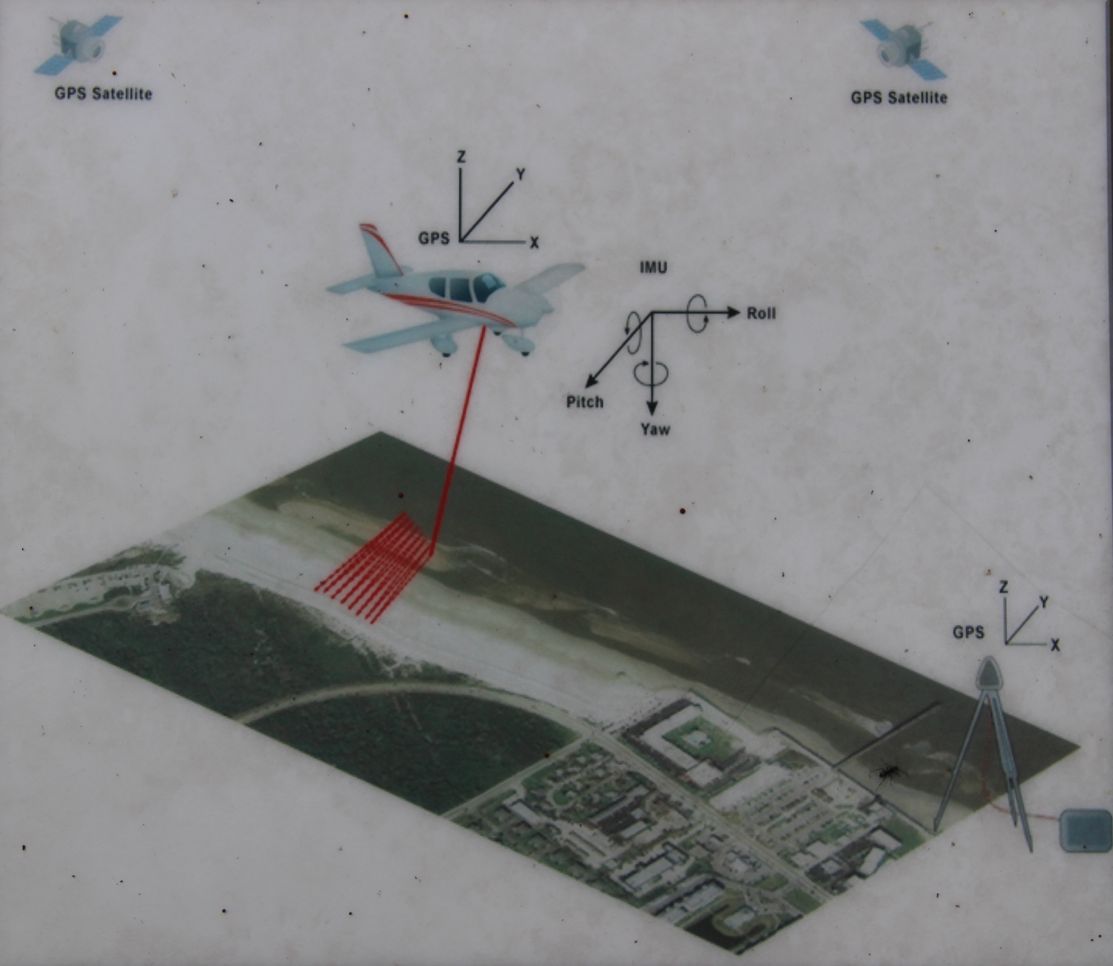
Finding a Hidden Treasure Marker | Additional Description: Close-up view, that is displayed on the marker, of an illustration showing how an airplane, using LiDAR, can create a 3D map.
Submitted: June 10, 2015, by Dale K. Benington of Toledo, Ohio.
Database Locator Identification Number: p310800
File Size: 2.084 Megabytes
To see the metadata that may be embedded in this photo, sign in and then return to this page.