Photograph as originally submitted to
this page in the Historical Marker Database
www.HMdb.org.
Click on photo to resize in browser. Scroll down to see metadata.
Photographer: Google Map
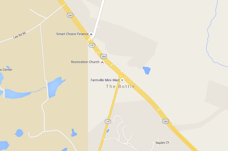
Caption:
Google map indicating area is known as "The Bottle". | Additional Description:
Area noted as "The Bottle" despite the store burning down in 1936!
"Map data: Google, Maxar Technologies."
Submitted: June 26, 2015, by Mark Hilton of Montgomery, Alabama.
Database Locator Identification Number: p312682
File Size: 0.107 Megabytes
To see the metadata that may be embedded in this photo, sign in and then return to this page.