Photograph as originally submitted to
this page in the Historical Marker Database
www.HMdb.org.
Click on photo to resize in browser. Scroll down to see metadata.
Photographer: Craig Swain
Taken: August 9, 2008
Caption:
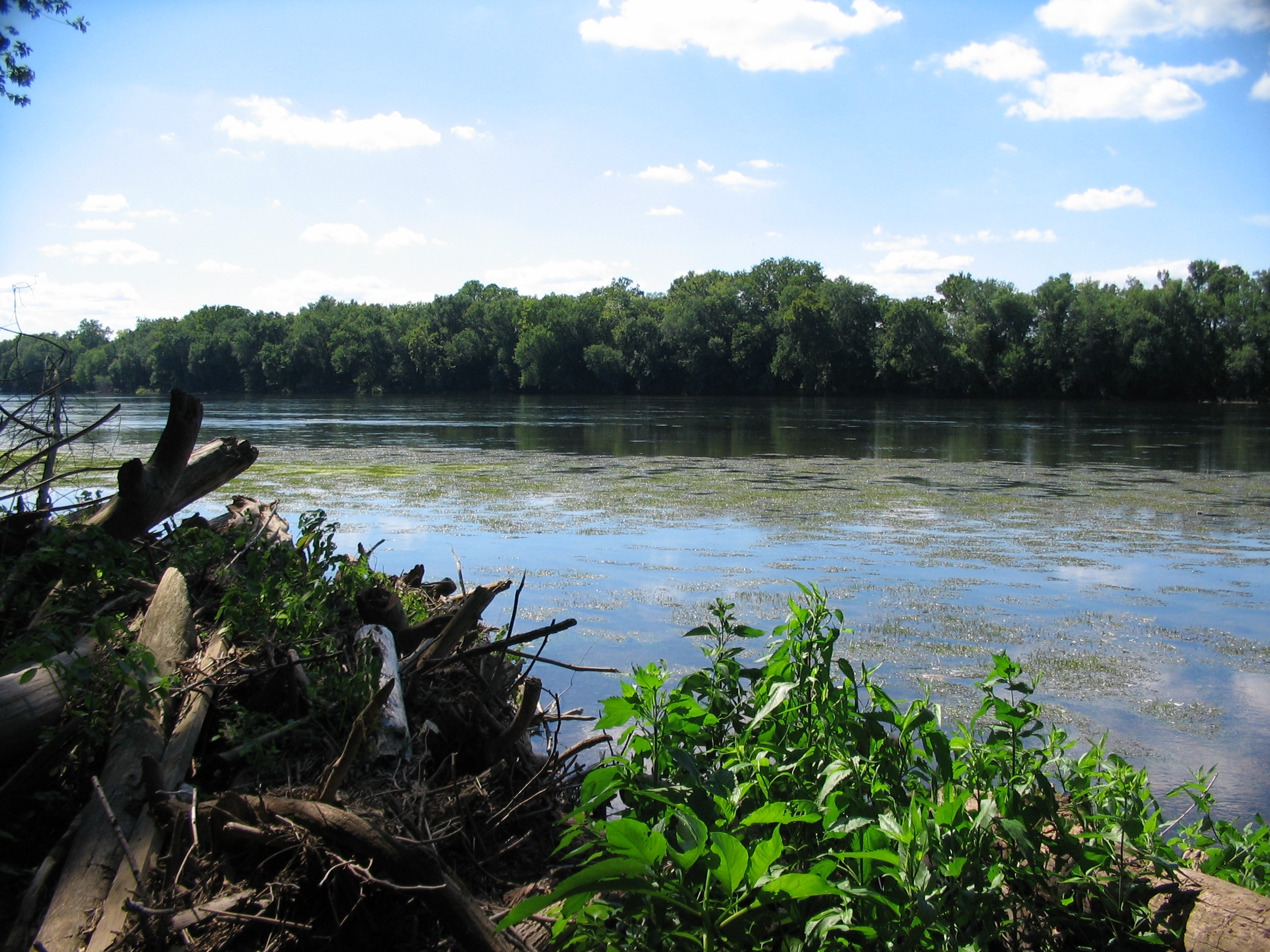
White’s Ford | Additional Description: The Ford was about two-thirds of a mile south of the marker location, near the north end of Mason Island. In this view from the Maryland, the island is just out of frame to the left. The river here is clam, with a sandy bottom.
Submitted: August 12, 2008, by Craig Swain of Leesburg, Virginia.
Database Locator Identification Number: p31368
File Size: 1.229 Megabytes
To see the metadata that may be embedded in this photo, sign in and then return to this page.