Photograph as originally submitted to
this page in the Historical Marker Database
www.HMdb.org.
Click on photo to resize in browser. Scroll down to see metadata.
Photographer: Craig Swain
Taken: July 6, 2008
Caption:
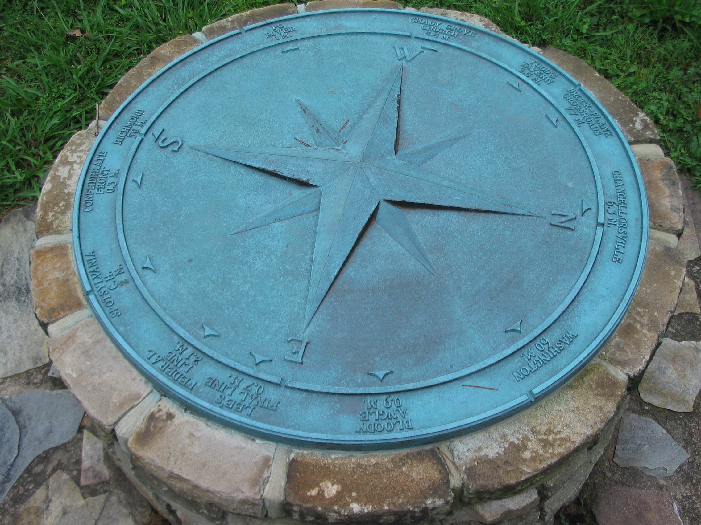
Spotsylvania "Compass" | Additional Description: As at other locations in the Fredericksburg and Spotsylvania National Military Park, a compass indicates the direction and distance to locations important to the battle and campaigns. From the north (right) are indicated Chancellorsville (6.3 m), Washington (60 m), Bloody Angle (0.9 m), Lee's Final Line (0.7 m), Federal Line (2.1 m), Spotsylvania C.H. (2 m), Confederate front (0.3 m), Richmond (50 m), Po River (1 m), Shady Grove Church (5.5 m), Todd's Tavern (3.5 m), and Brock-Plank Crossroads (7.7 m).
Submitted: August 13, 2008, by Craig Swain of Leesburg, Virginia.
Database Locator Identification Number: p31535
File Size: 1.327 Megabytes
To see the metadata that may be embedded in this photo, sign in and then return to this page.