Photograph as originally submitted to
this page in the Historical Marker Database
www.HMdb.org.
Click on photo to resize in browser. Scroll down to see metadata.
Photographer: Craig Swain
Taken: July 6, 2008
Caption:
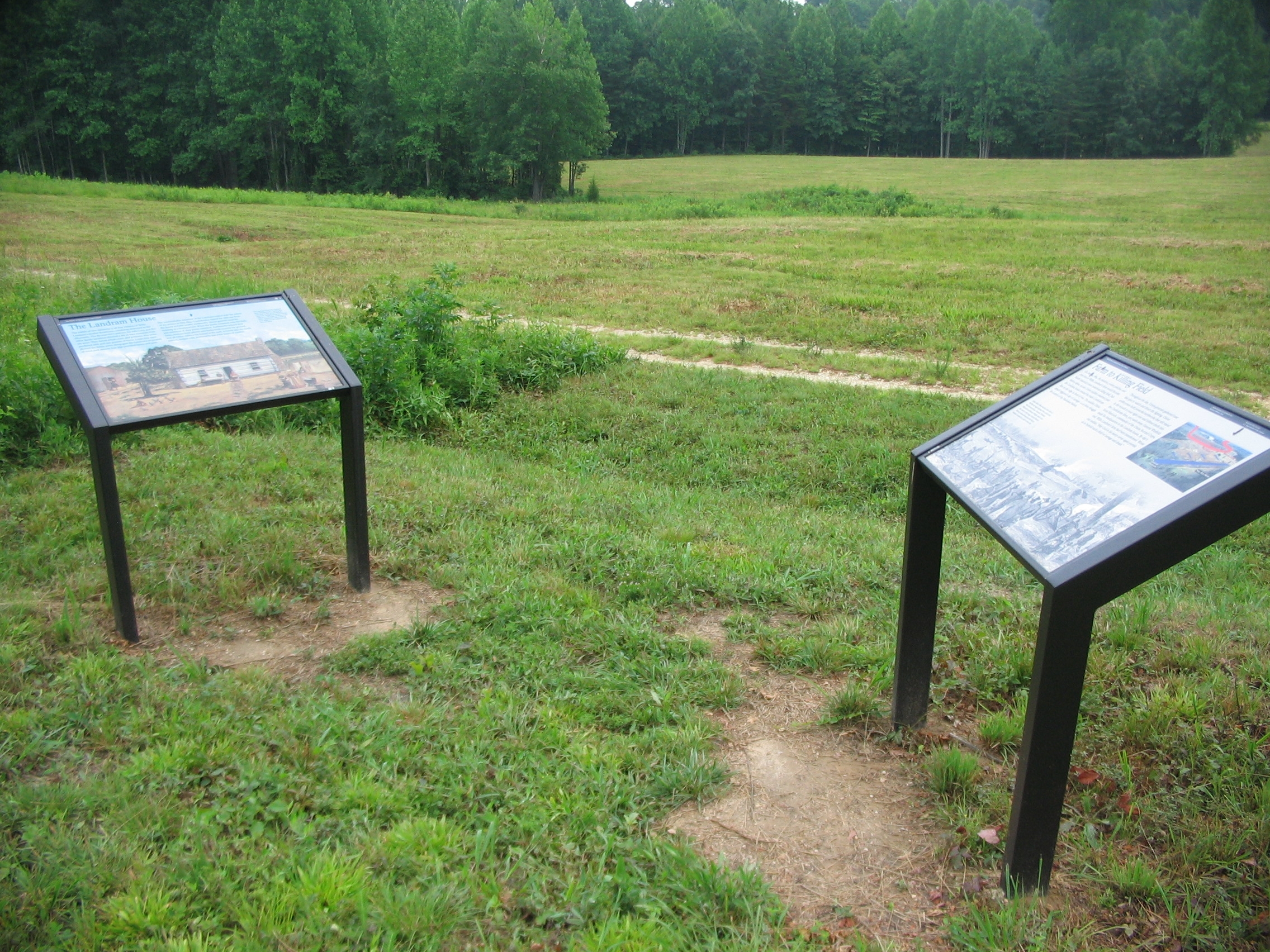
Stop along the Bloody Angle Trail | Additional Description: Two markers near the Landram House site. On the left
The Landram House. On the right
Farm to Killing Field.Submitted: August 15, 2008, by Craig Swain of Leesburg, Virginia.
Database Locator Identification Number: p31874
File Size: 1.590 Megabytes
To see the metadata that may be embedded in this photo, sign in and then return to this page.