Photograph as originally submitted to
this page in the Historical Marker Database
www.HMdb.org.
Click on photo to resize in browser. Scroll down to see metadata.
Photographer: Allen C. Browne
Taken: August 1, 2015
Caption:
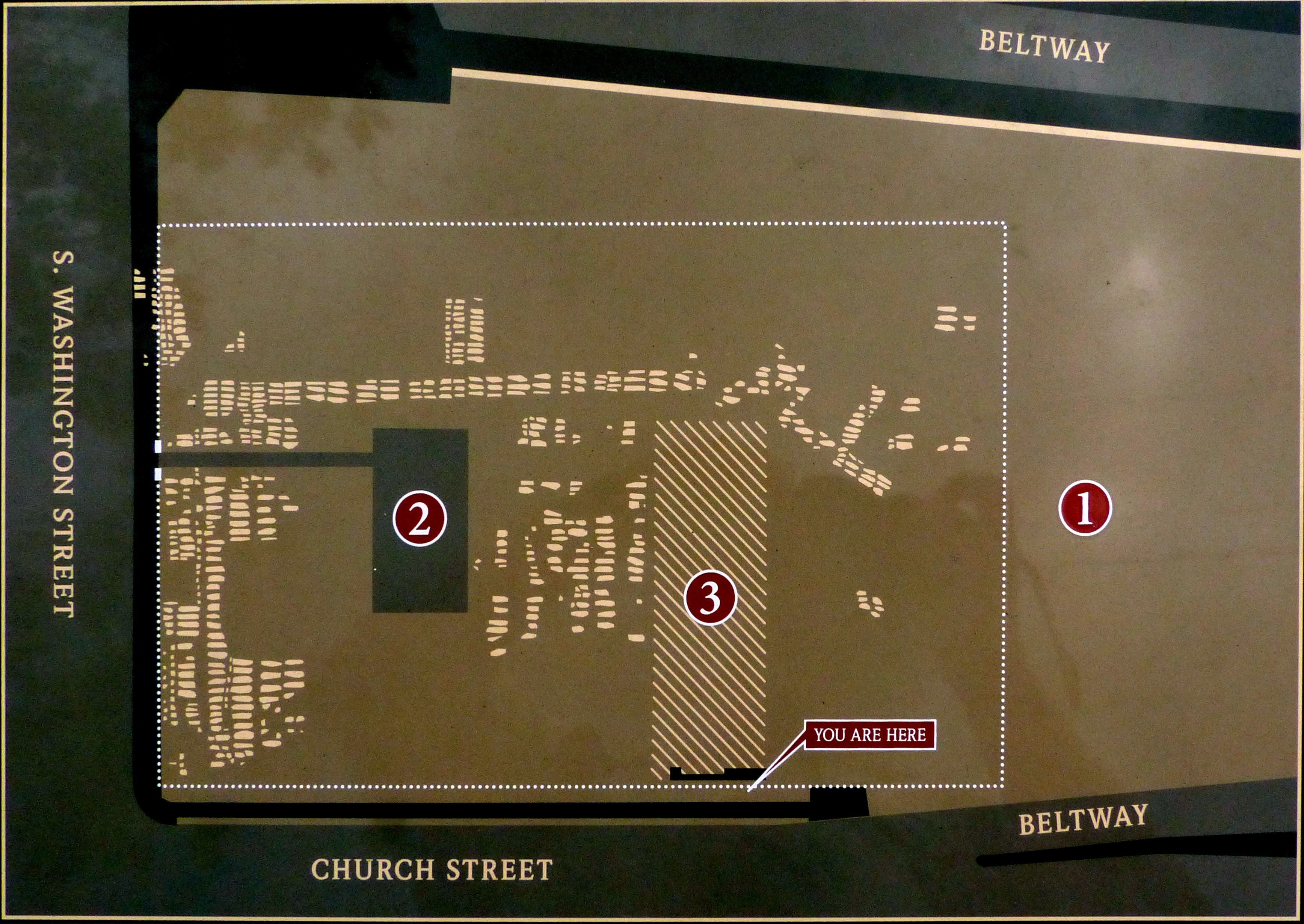
Map of Cemetery Site | Additional Description:
❶ Brickyard, ❷ Gas Station, ❸ Office Building.
Close-up of map on markerSubmitted: August 3, 2015, by Allen C. Browne of Silver Spring, Maryland.
Database Locator Identification Number: p319633
File Size: 1.695 Megabytes
To see the metadata that may be embedded in this photo, sign in and then return to this page.