Photograph as originally submitted to
this page in the Historical Marker Database
www.HMdb.org.
Click on photo to resize in browser. Scroll down to see metadata.
Photographer: Craig Swain
Taken: July 6, 2008
Caption:
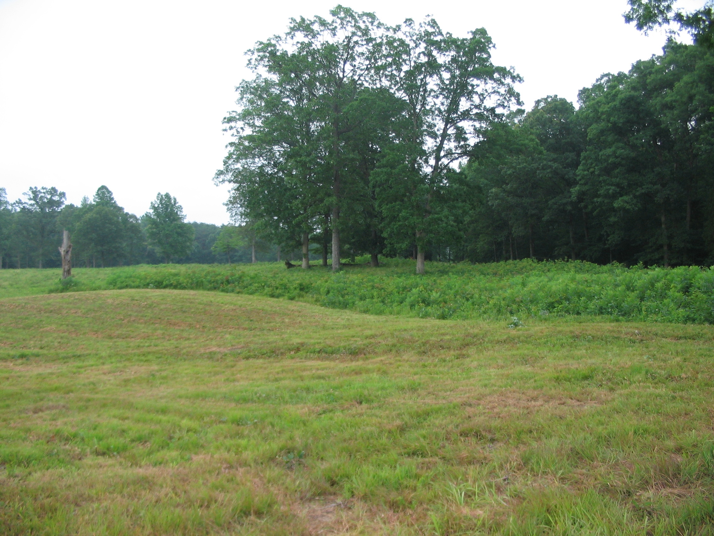
The East Angle | Additional Description: Looking from the trail path, from the direction of the Federal attack, toward the earthworks of the East Angle. The Confederate defenders had arranged the initial trenches at night, conforming to the existing woodlines. The resultant line formed a bulge of sorts, which offered many blind spots and was vulnerable to Federal attack. However, once the line was laid, Confederate commanders were reluctant to give up the ground, particularly high ground around the McCoull house.
Submitted: August 17, 2008, by Craig Swain of Leesburg, Virginia.
Database Locator Identification Number: p32165
File Size: 1.192 Megabytes
To see the metadata that may be embedded in this photo, sign in and then return to this page.