Photograph as originally submitted to
this page in the Historical Marker Database
www.HMdb.org.
Click on photo to resize in browser. Scroll down to see metadata.
Photographer: Bill Coughlin
Taken: August 3, 2015
Caption:
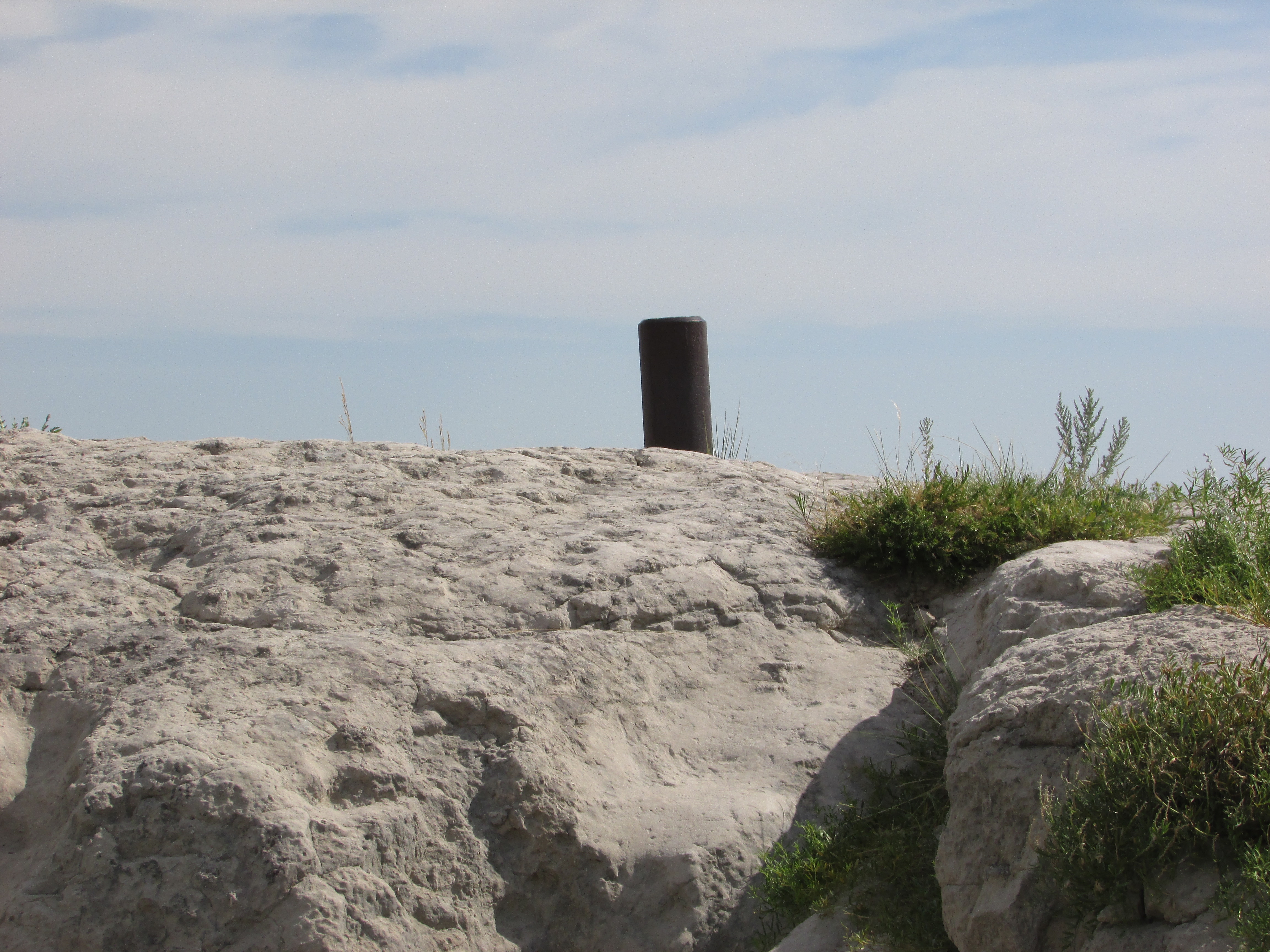
Survey Marker on Scotts Bluff | Additional Description: The top of the survey marker was originally level with the rock surface. This photo shows how much Scotts Bluff has eroded since 1933.
Submitted: August 17, 2015, by Bill Coughlin of Woodland Park, New Jersey.
Database Locator Identification Number: p323183
File Size: 4.536 Megabytes
To see the metadata that may be embedded in this photo, sign in and then return to this page.