Photograph as originally submitted to
this page in the Historical Marker Database
www.HMdb.org.
Click on photo to resize in browser. Scroll down to see metadata.
Photographer: Bill Coughlin
Taken: August 10, 2008
Caption:
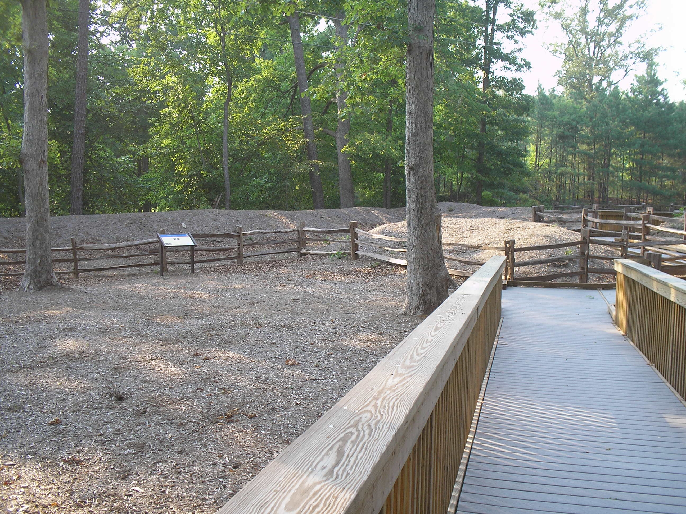
Trail through the Williamsburg Line | Additional Description: The marker is located in the middle of Confederate fortifications of the Third Defensive Line. Quarterpath Road is located on the other side of the earthworks.
Submitted: August 20, 2008, by Bill Coughlin of Woodland Park, New Jersey.
Database Locator Identification Number: p32548
File Size: 0.854 Megabytes
To see the metadata that may be embedded in this photo, sign in and then return to this page.