Photograph as originally submitted to
this page in the Historical Marker Database
www.HMdb.org.
Click on photo to resize in browser. Scroll down to see metadata.
Photographer: Craig Swain
Taken: June 16, 2007
Caption:
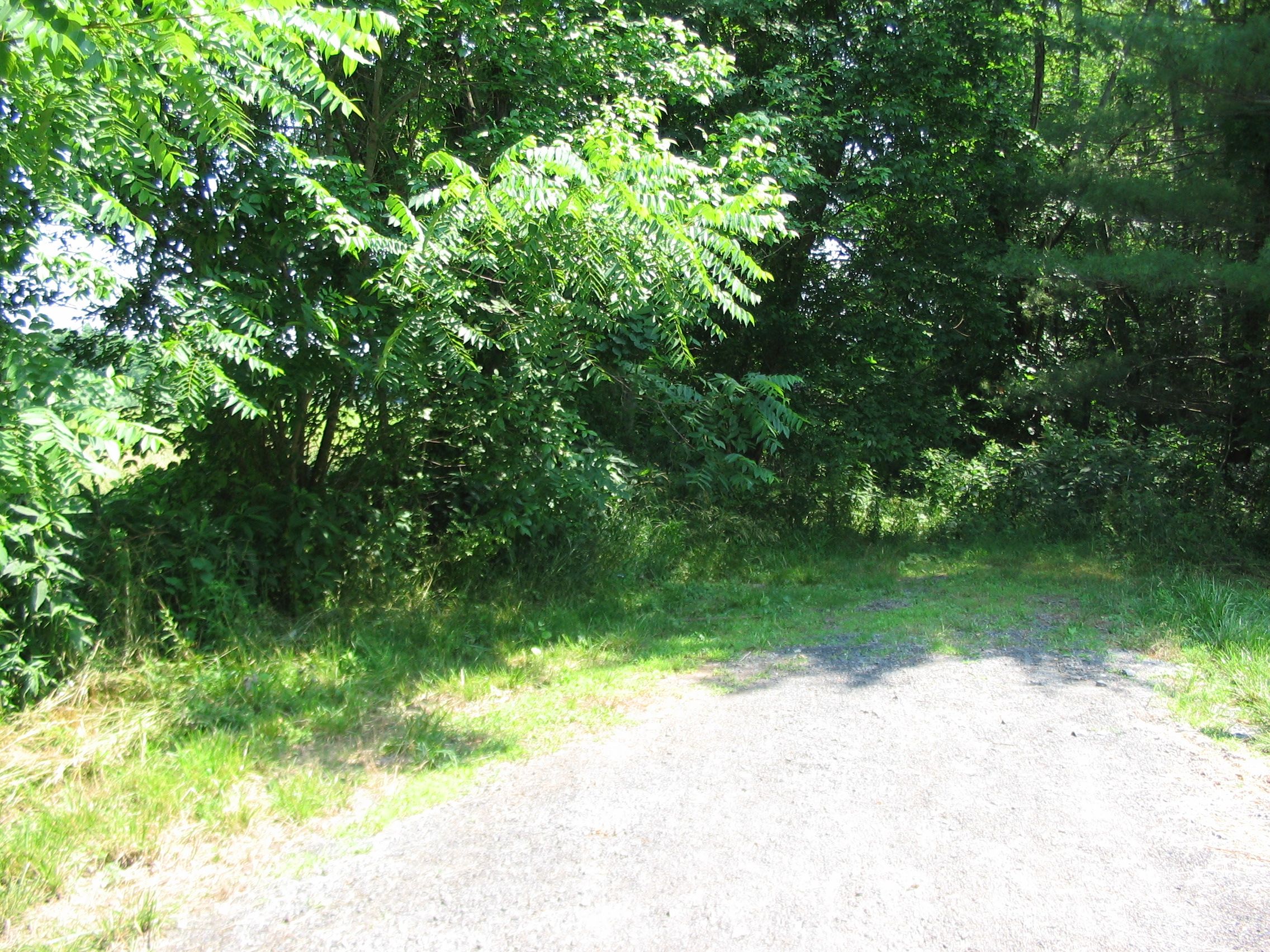
Road to Noland’s Ferry | Additional Description: The site of Noland’s Ferry is now on private land. The original road can be reached by turning East at the stop light just North of the marker, onto Lucketts Road (Route 662). After roughly four miles turn left onto Nolands Ferry Road.
Submitted: June 17, 2007, by Craig Swain of Leesburg, Virginia.
Database Locator Identification Number: p3262
File Size: 1.792 Megabytes
To see the metadata that may be embedded in this photo, sign in and then return to this page.