Photograph as originally submitted to
this page in the Historical Marker Database
www.HMdb.org.
Click on photo to resize in browser. Scroll down to see metadata.
Photographer: Dale K. Benington
Taken: July 23, 2015
Caption:
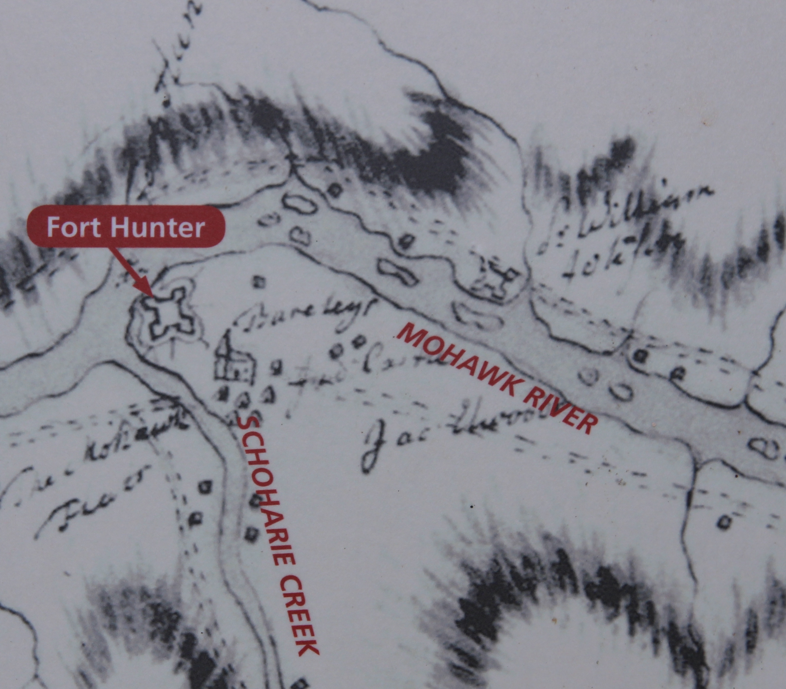
The Fort by the Village Marker | Additional Description: Close-up view, that is displayed on the marker, of a map showing Fort Hunter at its location just southeast of the intersection of the Mohawk River and the Schoharie Creek.
Submitted: September 12, 2015, by Dale K. Benington of Toledo, Ohio.
Database Locator Identification Number: p328535
File Size: 1.852 Megabytes
To see the metadata that may be embedded in this photo, sign in and then return to this page.