Photograph as originally submitted to
this page in the Historical Marker Database
www.HMdb.org.
Click on photo to resize in browser. Scroll down to see metadata.
Photographer: Don Morfe
Taken: October 29, 2015
Caption:
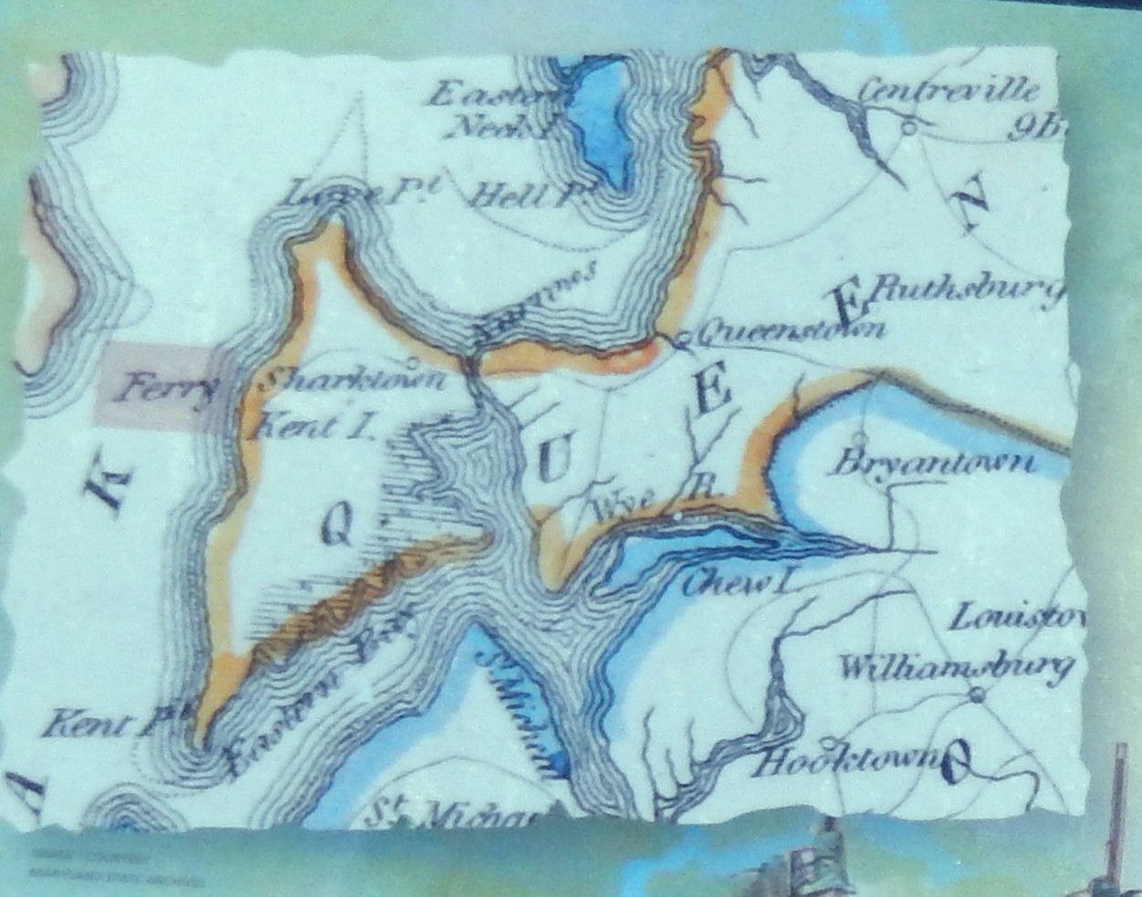
Map on the British Takeover Marker | Additional Description: (Inscription beside the map in the lower right bottom) Map of Kent Island by Mathew Carey, 1814, showing ferry landing where British soldiers came ashore.
Submitted: November 16, 2015, by Don Morfe of Baltimore, Maryland.
Database Locator Identification Number: p338318
File Size: 0.259 Megabytes
To see the metadata that may be embedded in this photo, sign in and then return to this page.